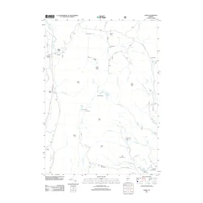
2012 Map of Danby
USGS Topo · Published 2012About this map
Danby and Mount Tabor anchor the western edge of this landscape, situated along the corridor of Otter Cr and the railroad. The terrain rises sharply to the east into a series of summits including Buckball Peak, Baker Peak, and Peru Peak. This mountainous interior is defined by a network of recreation and forest management, where Usfs RD 60 and Usfs RD 30 provide access to the Big Branch Picnic Grounds and numerous backcountry shelters like Griffith Shelter and Old Job Shelter.
Find a feature on this map
64 named features on this map. Tap any name to fly to it.
Don’t see what you’re looking for? This feature index may not catch every label — zoom into the map to look around manually.
Map Details
Editions of this 2012 Danby Map
This is the sole edition of this map. No revisions or reprints were ever made.
Other maps of this area

1893 · Wallingford
USGS Topo · 1:62,500

1894 · Londonderry
USGS Topo · 1:62,500

1894 · Pawlet
USGS Topo · 1:62,500

1894 · Equinox
USGS Topo · 1:62,500

1896 · Equinox
USGS Topo · 1:62,500

1897 · Pawlet
USGS Topo · 1:62,500

1899 · Londonderry
USGS Topo · 1:62,500

1900 · Equinox
USGS Topo · 1:62,500

1903 · Mettawee
USGS Topo · 1:125,000

1950 · Glens Falls
USGS Topo · 1:250,000