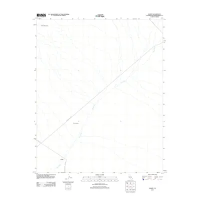
2012 Map of Danby
USGS Topo · Published 2012About this map
Fenner Valley dominates this desert landscape in San Bernardino County, where the topography is defined by the drainage patterns of Watson Wash. The small settlement of Danby serves as a focal point at the junction of several historic desert routes. The map documents a significant intersection of southwestern travel history, most notably the path of the National Trails Hwy, which cuts diagonally across the valley floor. To the northwest, the foothills of the Clipper Mountains begin to rise out of the basin. The road network, including Danby Rd and Skeleton Pass Rd, illustrates the isolated nature of this region, where infrastructure follows the natural contours of the desert floor and the drainage ways that cross it.
Find a feature on this map
8 named features on this map. Tap any name to fly to it.
Don’t see what you’re looking for? This feature index may not catch every label — zoom into the map to look around manually.
Map Details
Editions of this 2012 Danby Map
This is the sole edition of this map. No revisions or reprints were ever made.
Other maps of this area

1942 · Amboy
USGS Topo · 1:250,000

1943 · Amboy
USGS Topo · 1:250,000

1943 · Essex
USGS Topo · 1:62,500

1943 · Danby
USGS Topo · 1:62,500

1943 · Fenner
USGS Topo · 1:62,500

1954 · Needles
USGS Topo · 1:250,000

1956 · Needles
USGS Topo · 1:250,000

1956 · Fenner
USGS Topo · 1:62,500

1956 · Essex
USGS Topo · 1:62,500

1956 · Colton Well
USGS Topo · 1:62,500