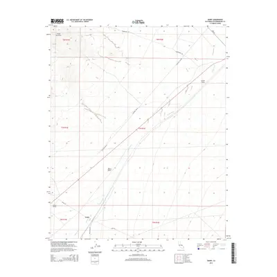
2015 Map of Danby
USGS Topo · Published 2015About this map
The high desert landscape of the eastern Mojave Desert defines this area of San Bernardino County, centered on the settlement of Danby. Situated at the convergence of several desert thoroughfares, the region is marked by significant topographical shifts between the Clipper Mountains to the northwest and the sweeping expanses of Fenner Valley and Lanfair Valley. The local hydrology is dominated by the ephemeral Watson Wash, which cuts a distinct path through the arid terrain. The map details a network of backcountry routes essential for desert navigation and utility maintenance, including Telephone Line Rd, Skeleton Pass Rd, and the Hummingbird Trl. This documentation of the area's physical geography reflects the enduring patterns of transit and minimal settlement in one of California's most isolated corridors.
Find a feature on this map
17 named features on this map. Tap any name to fly to it.
Don’t see what you’re looking for? This feature index may not catch every label — zoom into the map to look around manually.
Map Details
Editions of this 2015 Danby Map
This is the sole edition of this map. No revisions or reprints were ever made.
Other maps of this area

1942 · Amboy
USGS Topo · 1:250,000

1943 · Amboy
USGS Topo · 1:250,000

1943 · Essex
USGS Topo · 1:62,500

1943 · Danby
USGS Topo · 1:62,500

1943 · Fenner
USGS Topo · 1:62,500

1954 · Needles
USGS Topo · 1:250,000

1956 · Needles
USGS Topo · 1:250,000

1956 · Fenner
USGS Topo · 1:62,500

1956 · Essex
USGS Topo · 1:62,500

1956 · Colton Well
USGS Topo · 1:62,500