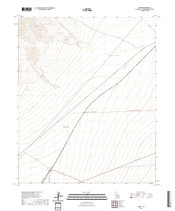
2021 Map of Danby
USGS Topo · Published 2021About this map
Danby sits at the base of the Fenner Valley within the expansive Mojave Desert, serving as a focal point for historic desert transit. This 2021 map illustrates the intersection of modern infrastructure and established truck trails that have long connected this remote San Bernardino County outpost to the wider region. To the north, the southern reaches of the Clipper Mountains define the local topography, overlooking a landscape carved by ephemeral washes and rugged access routes like Essex Rd. The network of back-country paths is notably extensive here, including the Needles to Ludlow Truck Trl and Sunset Trl, which provide insight into the historical movement of equipment and supplies across the arid interior. These routes, such as Skeleton Pass Rd, trace the natural corridors used by early travelers and desert industries well before modern paving.
Find a feature on this map
17 named features on this map. Tap any name to fly to it.
Don’t see what you’re looking for? This feature index may not catch every label — zoom into the map to look around manually.
Map Details
Editions of this 2021 Danby Map
This is the sole edition of this map. No revisions or reprints were ever made.
Other maps of this area

1942 · Amboy
USGS Topo · 1:250,000

1943 · Amboy
USGS Topo · 1:250,000

1943 · Essex
USGS Topo · 1:62,500

1943 · Danby
USGS Topo · 1:62,500

1943 · Fenner
USGS Topo · 1:62,500

1954 · Needles
USGS Topo · 1:250,000

1956 · Needles
USGS Topo · 1:250,000

1956 · Fenner
USGS Topo · 1:62,500

1956 · Essex
USGS Topo · 1:62,500

1956 · Colton Well
USGS Topo · 1:62,500