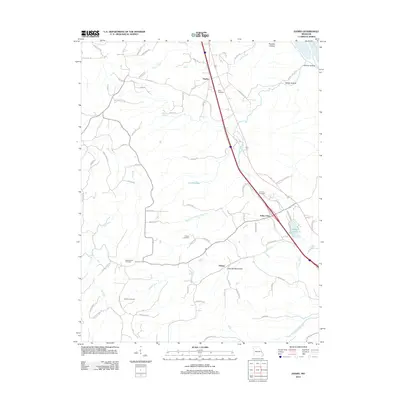
2012 Map of Danby
USGS Topo · Published 2012About this map
Danby and the surrounding rural landscapes of Ste. Genevieve County are documented in this 2012 survey, revealing a network of small settlements and family burial grounds that anchor the local heritage. The terrain is defined by winding drainage systems such as South Fork Isle du Bois Creek and Kinsey Creek, which carve through various hollows including Prentiss Hollow and Hog Spring Hollow. These natural features dictated the early settlement patterns and the placement of community landmarks.
Find a feature on this map
82 named features on this map. Tap any name to fly to it.
Don’t see what you’re looking for? This feature index may not catch every label — zoom into the map to look around manually.
Map Details
Editions of this 2012 Danby Map
This is the sole edition of this map. No revisions or reprints were ever made.
Other maps of this area

1904 · Farmington
USGS Topo · 1:62,500

1906 · Farmington
USGS Topo · 1:62,500

1907 · Weingarten
USGS Topo · 1:62,500

1909 · Weingarten
USGS Topo · 1:62,500

1915 · Renault
USGS Topo · 1:62,500

1915 · Crystal City
USGS Topo · 1:62,500

1940 · Renault
USGS Topo · 1:62,500

1949 · Saint Louis
USGS Topo · 1:250,000

1949 · Rolla
USGS Topo · 1:250,000

1949 · Crystal City
USGS Topo · 1:62,500