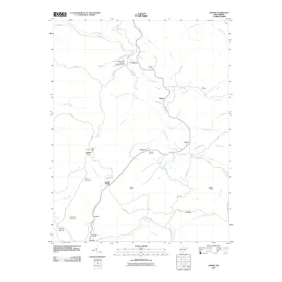
2011 Map of Danese
USGS Topo · Published 2011About this map
Mann Mountain and the high ridges of Greenwood Mountain define this part of the West Virginia coalfields, where settlements like Danese and Maplewood are linked by a network of winding county roads. The landscape is deeply incised by numerous waterways, including Glade Creek, Laurel Creek, and the curiously named Shades Death Creek. Local history is anchored by several family burying grounds, such as Smailes Cemetery and Anderson Cemetery, which offer valuable points of reference for genealogists.
Find a feature on this map
62 named features on this map. Tap any name to fly to it.
Don’t see what you’re looking for? This feature index may not catch every label — zoom into the map to look around manually.
Map Details
Editions of this 2011 Danese Map
This is the sole edition of this map. No revisions or reprints were ever made.
Other maps of this area

1887 · Hinton
USGS Topo · 1:125,000

1889 · Nicholas
USGS Topo · 1:125,000

1891 · Nicholas
USGS Topo · 1:125,000

1891 · Raleigh
USGS Topo · 1:125,000

1892 · Hinton
USGS Topo · 1:125,000

1897 · Kanawha Falls
USGS Topo · 1:125,000

1897 · Raleigh
USGS Topo · 1:125,000

1900 · Kanawha Falls
USGS Topo · 1:125,000

1901 · Nicholas
USGS Topo · 1:125,000

1901 · Kanawha Falls
USGS Topo · 1:125,000