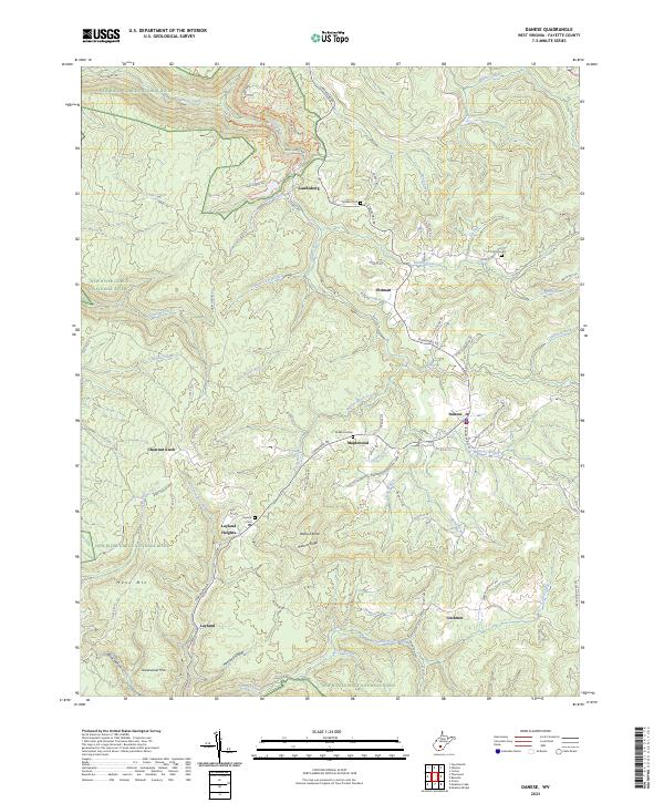
2023 Map of Danese
USGS Topo · Published 2023About this map
New River Gorge National River defines the western and southern boundaries of this area, where deep drainages like Manns Creek and Glade Creek carve through the plateau. This West Virginia landscape is characterized by small, ridgetop communities such as Danese and Maplewood that are connected by a network of rural roads following the natural contours of the high ground. Historically significant corridors like Old Sewell Rd and Old Jewell Rd hint at earlier transportation patterns that predated the modern highway system.
Find a feature on this map
76 named features on this map. Tap any name to fly to it.
Don’t see what you’re looking for? This feature index may not catch every label — zoom into the map to look around manually.
Map Details
Editions of this 2023 Danese Map
This is the sole edition of this map. No revisions or reprints were ever made.
Other maps of this area

1887 · Hinton
USGS Topo · 1:125,000

1889 · Nicholas
USGS Topo · 1:125,000

1891 · Nicholas
USGS Topo · 1:125,000

1891 · Raleigh
USGS Topo · 1:125,000

1892 · Hinton
USGS Topo · 1:125,000

1897 · Kanawha Falls
USGS Topo · 1:125,000

1897 · Raleigh
USGS Topo · 1:125,000

1900 · Kanawha Falls
USGS Topo · 1:125,000

1901 · Nicholas
USGS Topo · 1:125,000

1901 · Kanawha Falls
USGS Topo · 1:125,000