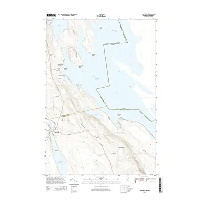
2014 Map of Danforth
USGS Topo · Published 2014About this map
The town of Danforth serves as the focal point for this borderland geography, where the international boundary between the United States and Canada bisects the waters of Grand Lake. This 2014 survey reveals a landscape shaped by water and timber, with the settlement positioned along Sandy Brook and the Crooked Brook Flowage. Further north, Butterfield Landing and the small residential clusters near Brackett Lake highlight the area's orientation toward the waterfront. The map is particularly useful for genealogical research, documenting local burial sites including Danforth Cemetery, Butterfield Cemetery, and Brackett Cemetery. Topographical features like Greenland Ridge and Flagstaff Mtn overlook a complex network of coves and points, such as Dark Cove and Norway Point, illustrating the intricate shoreline that defines the Washington and Aroostook county lines.
Find a feature on this map
58 named features on this map. Tap any name to fly to it.
Don’t see what you’re looking for? This feature index may not catch every label — zoom into the map to look around manually.
Map Details
Editions of this 2014 Danforth Map
This is the sole edition of this map. No revisions or reprints were ever made.
Other maps of this area

1940 · Danforth
USGS Topo · 1:62,500

1940 · Amity
USGS Topo · 1:62,500

1940 · Forest
USGS Topo · 1:62,500

1941 · Danforth
USGS Topo · 1:62,500

1941 · Amity
USGS Topo · 1:62,500

1942 · Forest
USGS Topo · 1:62,500

1943 · Danforth
USGS Topo · 1:62,500

1943 · Amity
USGS Topo · 1:62,500

1957 · Fredericton
USGS Topo · 1:250,000
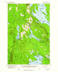
1958 · Danforth
USGS Topo · 1:62,500