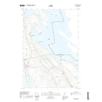
2021 Map of Danforth
USGS Topo · Published 2021About this map
The town of Danforth serves as the focal point for this borderlands survey, situated where the boundary between Aroostook Co and Washington Co meets the international border between Canada and the United States. The landscape is dominated by the sprawling waters of Grand Lake and Brackett Lake, connected by a network of smaller bodies like Sucker Lake and the Crooked Brook Flowage. Topography ranges from the low-lying Work Point and Norway Point to the prominence of Flagstaff Mtn and Greenland Ridge in the southeast.
Find a feature on this map
51 named features on this map. Tap any name to fly to it.
Don’t see what you’re looking for? This feature index may not catch every label — zoom into the map to look around manually.
Map Details
Editions of this 2021 Danforth Map
This is the sole edition of this map. No revisions or reprints were ever made.
Other maps of this area

1940 · Danforth
USGS Topo · 1:62,500

1940 · Amity
USGS Topo · 1:62,500

1940 · Forest
USGS Topo · 1:62,500

1941 · Danforth
USGS Topo · 1:62,500

1941 · Amity
USGS Topo · 1:62,500

1942 · Forest
USGS Topo · 1:62,500

1943 · Danforth
USGS Topo · 1:62,500

1943 · Amity
USGS Topo · 1:62,500

1957 · Fredericton
USGS Topo · 1:250,000
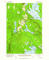
1958 · Danforth
USGS Topo · 1:62,500