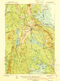
1941 Map of Danforth
USGS Topo · Published 1941About this map
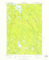
Danforth sits at the nexus of water and rail in this 1930s-era survey of eastern Maine, where the Canadian Pacific and Maine Central railroads converge near the Baskahegan Stream. The landscape is defined by its logging and sporting heritage, evidenced by numerous named camps such as Gillis Camp, Moody Camp, and Russell Camp scattered across the ridges. Small rural communities and schoolhouses like the Bonner Sch and Shaw Sch served the families of the Irish Settlement and Cranetown.
Find a feature on this map
131 named features on this map. Tap any name to fly to it.
Don’t see what you’re looking for? This feature index may not catch every label — zoom into the map to look around manually.
Map Details
Editions of this 1941 Danforth Map
2 editions found
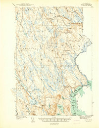
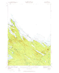
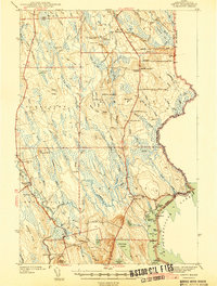
Other maps of this area

1931 · Springfield
USGS Topo · 1:48,000

1934 · Springfield
USGS Topo · 1:62,500

1940 · Danforth
USGS Topo · 1:62,500
1940 · Amity
USGS Topo · 1:62,500

1940 · Waite
USGS Topo · 1:62,500
1940 · Forest
USGS Topo · 1:62,500

1941 · Danforth
USGS Topo · 1:62,500
1941 · Amity
USGS Topo · 1:62,500

1941 · Scraggly Lake
USGS Topo · 1:62,500
1941 · Mattawamkeag Lake
USGS Topo · 1:62,500