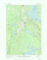
1958 Map of Danforth
USGS Topo · Published 1973About this map
The Canadian Pacific Railway serves as a central artery through this timber-rich borderland, connecting the hub at Danforth with the broader rail network. To the north and south, small settlements like South Bancroft and Brookton highlight a landscape defined by its relation to the Chiputneticook Lakes and the winding Baskahegan Stream. The map reveals a dense network of local landmarks essential to mid-century rural life, including the Irish Settlement and family-named schools like Shaw Sch and Bonner Sch.
Find a feature on this map
146 named features on this map. Tap any name to fly to it.
Don’t see what you’re looking for? This feature index may not catch every label — zoom into the map to look around manually.
Map Details
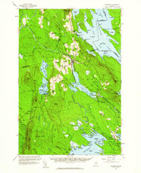
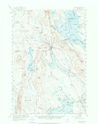
Editions of this 1958 Danforth Map
3 editions found
Other maps of this area

1931 · Springfield
USGS Topo · 1:48,000

1934 · Springfield
USGS Topo · 1:62,500

1940 · Danforth
USGS Topo · 1:62,500

1940 · Amity
USGS Topo · 1:62,500

1940 · Waite
USGS Topo · 1:62,500

1940 · Forest
USGS Topo · 1:62,500

1941 · Danforth
USGS Topo · 1:62,500

1941 · Amity
USGS Topo · 1:62,500

1941 · Scraggly Lake
USGS Topo · 1:62,500

1941 · Mattawamkeag Lake
USGS Topo · 1:62,500