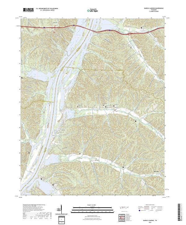
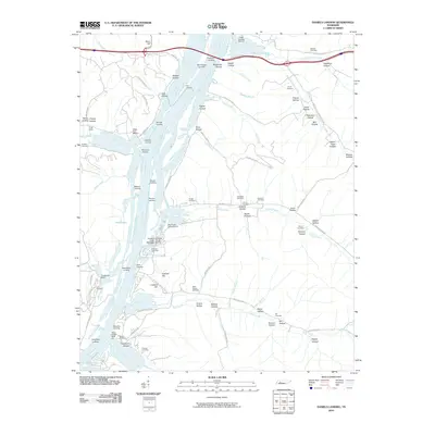
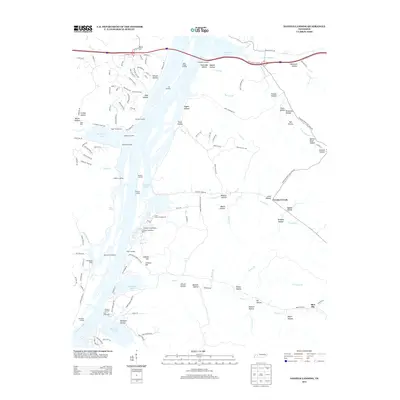
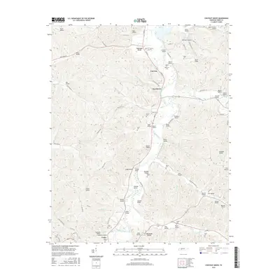
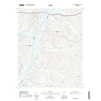
2022 Map of Daniels Landing
USGS Topo · Published 2022About this map
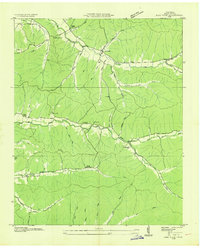
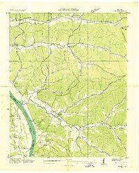
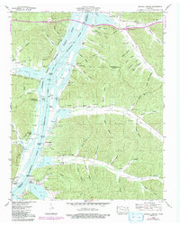
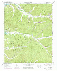
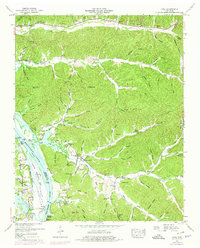
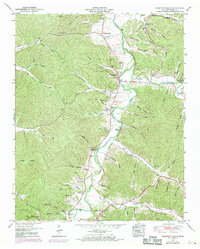
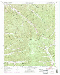
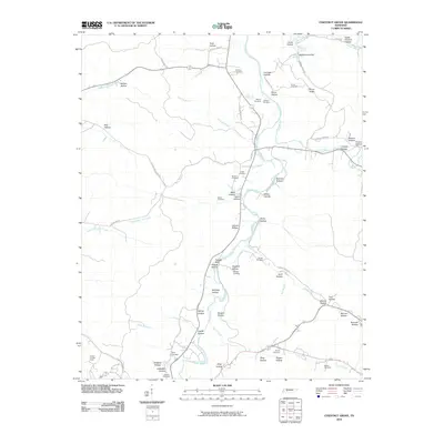
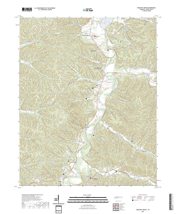
Kentucky Lake and the Tennessee River dominate the western edge of this landscape, where the waters divide Benton, Humphreys, Perry, and Decatur counties. This modern topographic study reveals a deeply dissected terrain defined by a labyrinth of hollows, including Rabbit Hollow, Hellsneck Hollow, and Opossum Hollow. These narrow valleys reflect a settlement pattern where family life and community infrastructure followed the drainage of the Tennessee River Valley.
Find a feature on this map
128 named features on this map. Tap any name to fly to it.
Don’t see what you’re looking for? This feature index may not catch every label — zoom into the map to look around manually.
Map Details
Editions of this 2022 Daniels Landing Map
This is the sole edition of this map. No revisions or reprints were ever made.
Historical Maps of Blue Sky Through Time
35 maps found
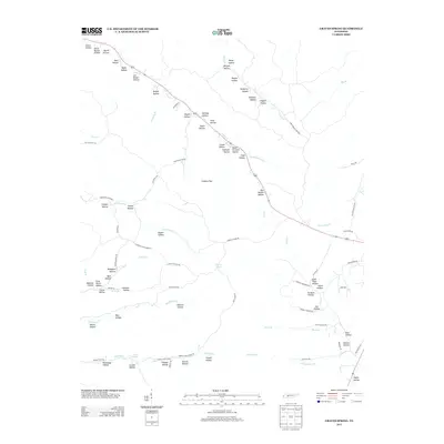
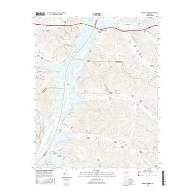
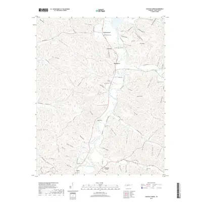
1936 Chestnut Grove
Perry County, TN
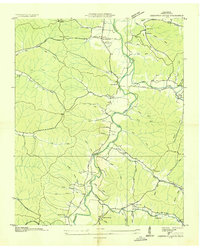
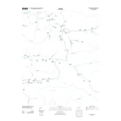
1936 Daniels Landing
Perry County, TN
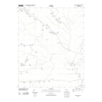
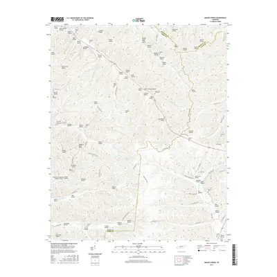
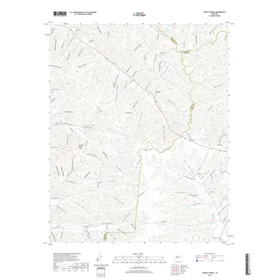
1936 Graves Spring
Perry County, TN
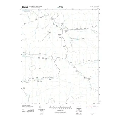
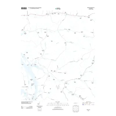
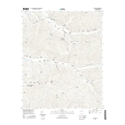
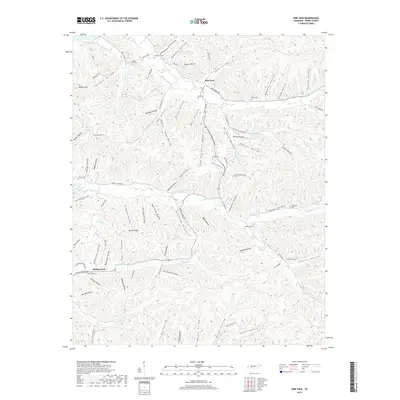
1936 Pine View
Perry County, TN
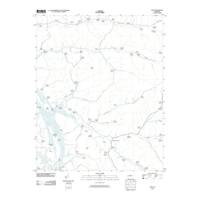
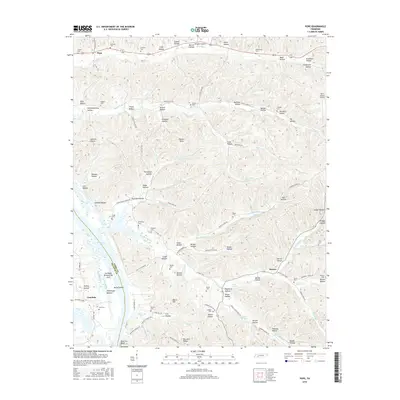
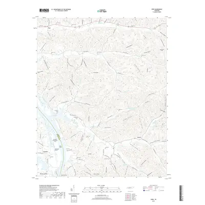
1936 Pope
Perry County, TN
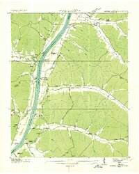
1949 Daniels Landing
Perry County, TN
1949 Pine View
Perry County, TN
1949 Pope
Perry County, TN
1950 Chestnut Grove
Perry County, TN
1951 Graves Spring
Perry County, TN
2010 Chestnut Grove
Perry County, TN
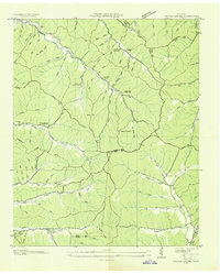
2010 Daniels Landing
Perry County, TN
2010 Graves Spring
Perry County, TN
2010 Pine View
Perry County, TN
2010 Pope
Perry County, TN
2013 Chestnut Grove
Perry County, TN
2013 Daniels Landing
Perry County, TN
2013 Graves Spring
Perry County, TN
2013 Pine View
Perry County, TN
2013 Pope
Perry County, TN
2016 Chestnut Grove
Perry County, TN
2016 Daniels Landing
Perry County, TN
2016 Graves Spring
Perry County, TN
2016 Pine View
Perry County, TN
2016 Pope
Perry County, TN
2019 Chestnut Grove
Perry County, TN
2019 Daniels Landing
Perry County, TN
2019 Graves Spring
Perry County, TN
2019 Pine View
Perry County, TN
2019 Pope
Perry County, TN
2022 Chestnut Grove
Perry County, TN
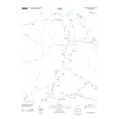
2022 Daniels Landing
Perry County, TN
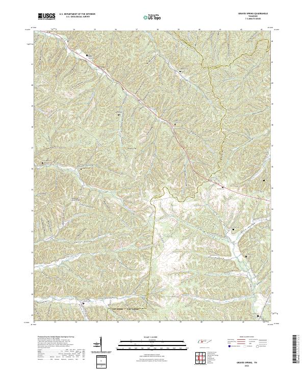
2022 Graves Spring
Perry County, TN
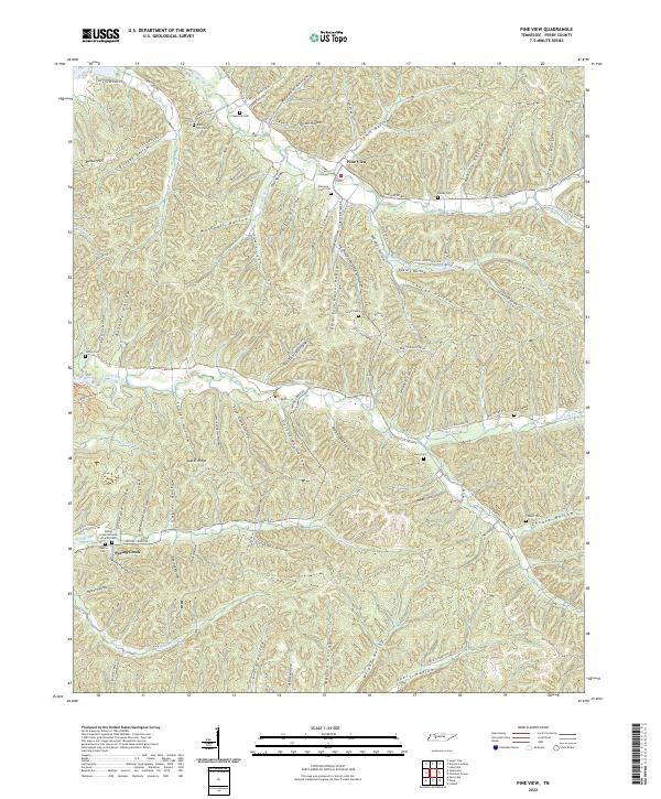
2022 Pine View
Perry County, TN
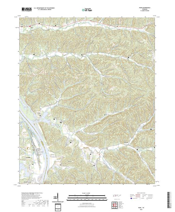
2022 Pope
Perry County, TN