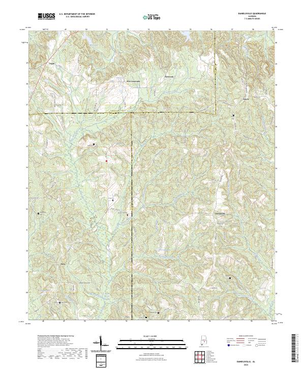
2024 Map of Danielsville
USGS Topo · Published 2024About this map
Danielsville and Ellis Crossroads serve as the primary hubs in this corner of the Alabama coastal plain where Lowndes, Butler, and Crenshaw counties meet. The landscape is defined by an intricate network of watercourses, including Three Run Creek, Moseley Mill Creek, and Stringer Mill Creek, which wind through the terrain. The presence of numerous family-associated burial grounds, such as Bethel Cem, King Cem, and Oak Bowery Cem, points to a long-established rural community pattern.
Find a feature on this map
90 named features on this map. Tap any name to fly to it.
Don’t see what you’re looking for? This feature index may not catch every label — zoom into the map to look around manually.
Map Details
Editions of this 2024 Danielsville Map
This is the sole edition of this map. No revisions or reprints were ever made.
Other maps of this area

1953 · Montgomery
USGS Topo · 1:250,000

1953 · Andalusia
USGS Topo · 1:250,000

1956 · Montgomery
USGS Topo · 1:250,000

1957 · Montgomery
USGS Topo · 1:250,000

1957 · Andalusia
USGS Topo · 1:250,000

1957 · Letohatchee
USGS Topo · 1:62,500

1971 · Fullers Crossroads
USGS Topo · 1:24,000

1971 · Fort Deposit
USGS Topo · 1:24,000

1971 · Honoraville
USGS Topo · 1:24,000

1971 · Greenville East
USGS Topo · 1:24,000