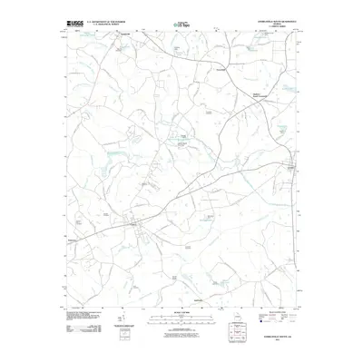
2011 Map of Danielsville South
USGS Topo · Published 2011About this map
The South Fork Broad River and its numerous tributaries, including Beaverdam Creek and Mill Shoal Creek, define the topography of this Madison County landscape. In the early 21st century, the area maintained a distinct agrarian character, anchored by the settlements of Colbert, Comer, and Danielsville. The land is dotted with private water management features like Woods Lake, Sasnett Lake, and Oliver Lear Lake, reflecting a transition from historical mill-based industry to modern water conservation and recreation. Genealogists and local historians will find several well-preserved family and community burial grounds, such as Kincaid Cemetery, Meadow Cemetery, and Hitchcock Cemetery. The road network, including the historical corridor along Bullock Mill Rd, traces old routes between crossroads like Gholston Stand Crossroads and Porterfield, illustrating the enduring spatial layout of Georgia's Piedmont region.
Find a feature on this map
110 named features on this map. Tap any name to fly to it.
Don’t see what you’re looking for? This feature index may not catch every label — zoom into the map to look around manually.
Map Details
Editions of this 2011 Danielsville South Map
This is the sole edition of this map. No revisions or reprints were ever made.
Other maps of this area

1891 · Carnesville
USGS Topo · 1:125,000

1953 · Athens
USGS Topo · 1:250,000

1954 · Greenville
USGS Topo · 1:250,000

1958 · Greenville
USGS Topo · 1:250,000

1958 · Athens
USGS Topo · 1:250,000

1958 · Danielsville
USGS Topo · 1:62,500

1959 · Athens
USGS Topo · 1:250,000

1963 · Athens
USGS Topo · 1:250,000

1964 · Ila
USGS Topo · 1:24,000

1964 · Hull
USGS Topo · 1:24,000