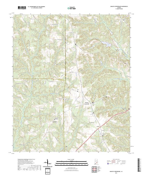
2024 Map of Danleys Crossroads
USGS Topo · Published 2024About this map
Friendship and Danleys Crossroads anchor the intersection of rural life and natural drainage in this pocket of the Wiregrass region. The landscape is defined by its numerous small water bodies and creeks, such as Pigeon Creek and Beaverdam Creek, which feed into larger reservoirs like County Lake and Donaldson Pond. This network of tributaries suggests a land heavily influenced by local hydrology, where early settlement patterns followed the high ground between these branching stream systems.
Find a feature on this map
89 named features on this map. Tap any name to fly to it.
Don’t see what you’re looking for? This feature index may not catch every label — zoom into the map to look around manually.
Map Details
Editions of this 2024 Danleys Crossroads Map
This is the sole edition of this map. No revisions or reprints were ever made.
Other maps of this area

1953 · Andalusia
USGS Topo · 1:250,000

1957 · Andalusia
USGS Topo · 1:250,000

1968 · Danleys Crossroads
USGS Topo · 1:24,000
1968 · Ino
USGS Topo · 1:24,000
1968 · Bluff Springs
USGS Topo · 1:24,000

1968 · Opp East
USGS Topo · 1:24,000
1968 · Elba
USGS Topo · 1:24,000

1968 · Bullock
USGS Topo · 1:24,000

1971 · Dozier
USGS Topo · 1:24,000

1971 · Brantley
USGS Topo · 1:24,000