
1968 Map of Bullock
USGS Topo · Published 1971About this map
The Conecuh River meanders through this landscape, carving a wide floodplain that separates the higher ground of Brantley from the rural communities to the east. At this time in the late 1960s, the Central of Georgia railroad tracks cut through the river valley, serving the timber and agricultural needs of south-central Alabama. The map reveals a dense network of country churches and family-named landmarks that anchor the social history of the region. From Mt Zion Ch in the north to Zion Chapel and Weed Ch in the south, these spiritual centers appear alongside rural intersections like Weed Crossroad and small settlements like Bullock and Friendship. Notable water features such as Lake Norman, Bailey Lakes, and Bryan Mill Creek highlight the importance of local hydrology to the area's development and historical milling sites.
Find a feature on this map
39 named features on this map. Tap any name to fly to it.
Don’t see what you’re looking for? This feature index may not catch every label — zoom into the map to look around manually.
Map Details
Editions of this 1968 Bullock Map
This is the sole edition of this map. No revisions or reprints were ever made.
Other maps of this area

1953 · Andalusia
USGS Topo · 1:250,000

1957 · Andalusia
USGS Topo · 1:250,000

1968 · Danleys Crossroads
USGS Topo · 1:24,000
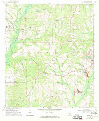
1968 · Goshen
USGS Topo · 1:24,000
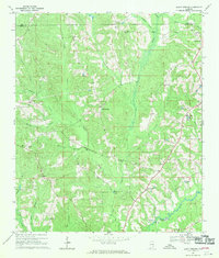
1968 · Bluff Springs
USGS Topo · 1:24,000

1968 · Glenwood
USGS Topo · 1:24,000
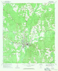
1968 · Elba
USGS Topo · 1:24,000

1971 · Dozier
USGS Topo · 1:24,000

1971 · Luverne
USGS Topo · 1:24,000

1971 · Brantley
USGS Topo · 1:24,000