Loading...
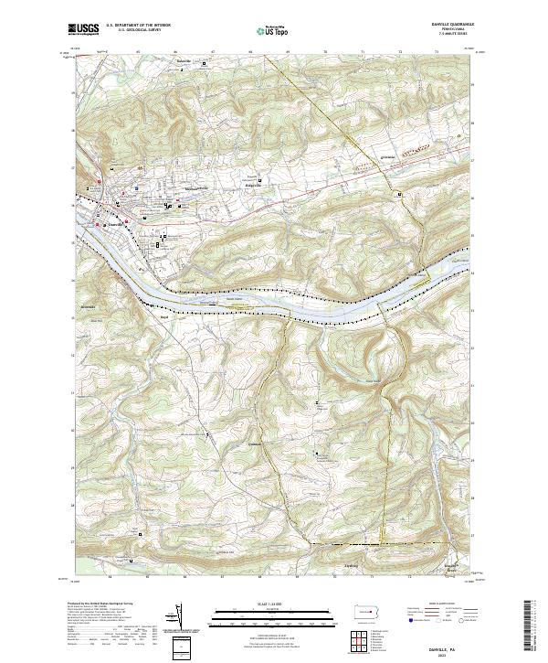
Loading map...2023 Map of Danville
USGS Topo · Published 2023About this map
Danville serves as a focal point where the Susquehanna River meets several significant waterways, including Mahoning Creek, Sechler Run, and Blizzards Run. The landscape is defined by the convergence of the Susquehanna River Water Trail and the neighboring ridges of Sharp Ridge and Shamokin Hill. This modern survey reveals a dense concentration of local heritage sites, particularly within the borough and its immediate surroundings like Mechanicsville and Riverside.
Find a feature on this map
84 named features on this map. Tap any name to fly to it.
Don’t see what you’re looking for? This feature index may not catch every label — zoom into the map to look around manually.
Map Details
Date Portrayed2023
Date Published2023
PublisherU.S. Geological Survey
Map TypeTopographic
Scale1:24000
Physical Dimensions24 x 29 inches
Editions of this 2023 Danville Map
This is the sole edition of this map. No revisions or reprints were ever made.
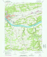
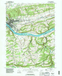
Historical Maps of Mahoning Township Through Time
3 maps found
Featured Locations
- Montour Township, PA
- Cleveland Township, PA
- Franklin Township, PA
- Hemlock Township, PA
- Elysburg, Ralpho Township
Source Details
SourceU.S. Geological Survey
CopyrightPublic Domain