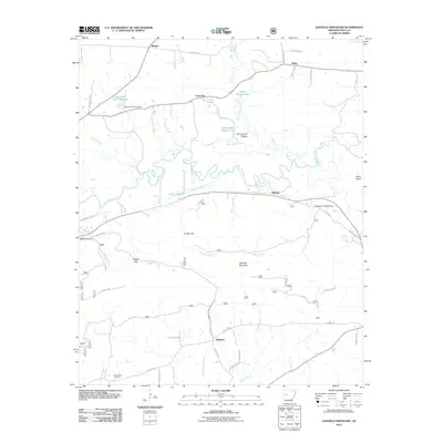
2011 Map of Danville Mountain
USGS Topo · Published 2011About this map
The Petit Jean River carves a winding path through this Yell County landscape, flanked by the prominent ridge of Danville Mountain to the south. The river valley is characterized by complex hydrology, including the Elm Root Slough, Cape Slough, and Peeler Lake, illustrating the naturally shifting waterways before modern channelization. Settlement is dispersed across small communities such as Ranger, Lone Pine, and Kingston, connected by a network of rural routes like Kingston Rd and Peeler Gap Rd.
Find a feature on this map
51 named features on this map. Tap any name to fly to it.
Don’t see what you’re looking for? This feature index may not catch every label — zoom into the map to look around manually.
Map Details
Editions of this 2011 Danville Mountain Map
This is the sole edition of this map. No revisions or reprints were ever made.
Other maps of this area

1888 · Dardanelle #4
USGS Topo · 1:62,500

1888 · Dardanelle #3
USGS Topo · 1:62,500

1890 · Hot Springs
USGS Topo · 1:125,000

1890 · Dardanelle
USGS Topo · 1:125,000

1894 · Hot Springs
USGS Topo · 1:125,000

1955 · Little Rock
USGS Topo · 1:250,000

1956 · Little Rock
USGS Topo · 1:250,000

1956 · Russellville
USGS Topo · 1:250,000

1960 · Little Rock
USGS Topo · 1:250,000

1964 · Russellville
USGS Topo · 1:250,000