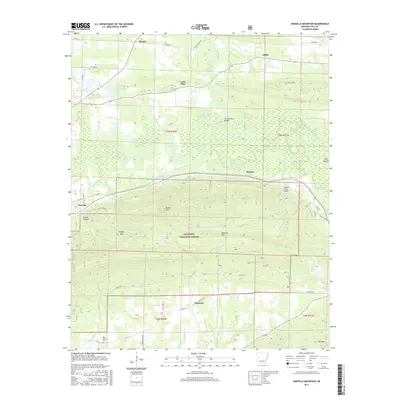
2017 Map of Danville Mountain
USGS Topo · Published 2017About this map
The Petit Jean River meanders across this landscape, creating a complex network of sloughs and lakes like Elm Root Slough and Surrounded Ridges Lake. This 2017 survey reveals a diverse topography where the flat, swampy lowlands of the river valley meet the rising slopes of Danville Mtn and Ola Mtn. The central portion of the map is dominated by the Ouachita National Forest, containing high points such as Bunker Hill and local landmarks like Peeler Gap.
Find a feature on this map
59 named features on this map. Tap any name to fly to it.
Don’t see what you’re looking for? This feature index may not catch every label — zoom into the map to look around manually.
Map Details
Editions of this 2017 Danville Mountain Map
This is the sole edition of this map. No revisions or reprints were ever made.
Other maps of this area

1888 · Dardanelle #4
USGS Topo · 1:62,500

1888 · Dardanelle #3
USGS Topo · 1:62,500

1890 · Hot Springs
USGS Topo · 1:125,000

1890 · Dardanelle
USGS Topo · 1:125,000

1894 · Hot Springs
USGS Topo · 1:125,000

1955 · Little Rock
USGS Topo · 1:250,000

1956 · Little Rock
USGS Topo · 1:250,000

1956 · Russellville
USGS Topo · 1:250,000

1960 · Little Rock
USGS Topo · 1:250,000

1964 · Russellville
USGS Topo · 1:250,000