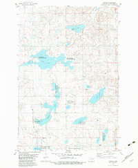
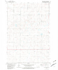
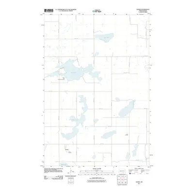
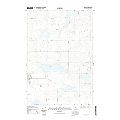
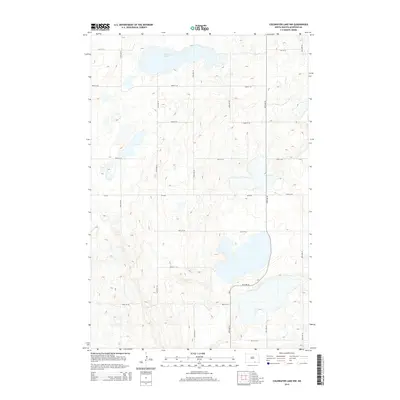
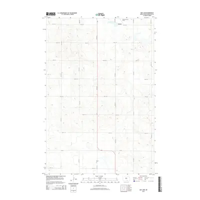
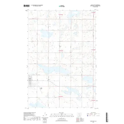
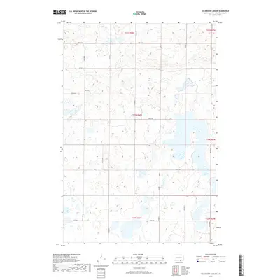
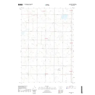
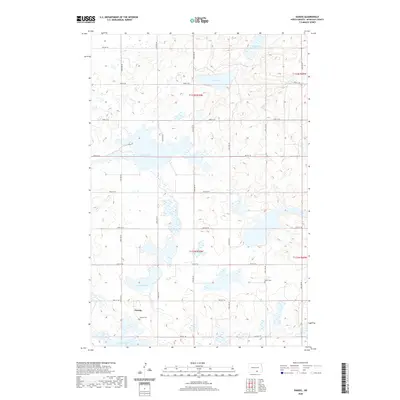
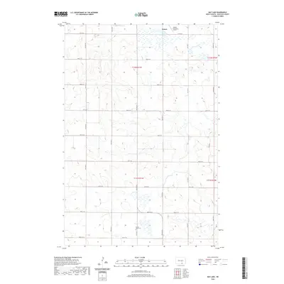
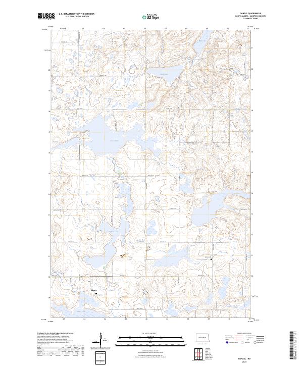
1982 Map of Danzig
USGS Topo · Published 1983About this map
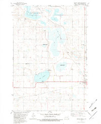
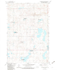
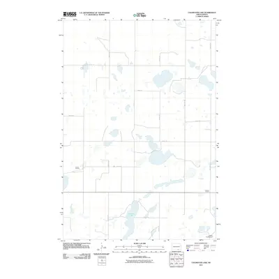
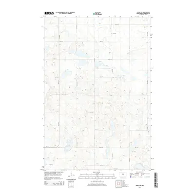
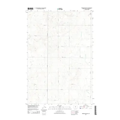
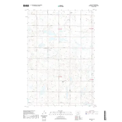
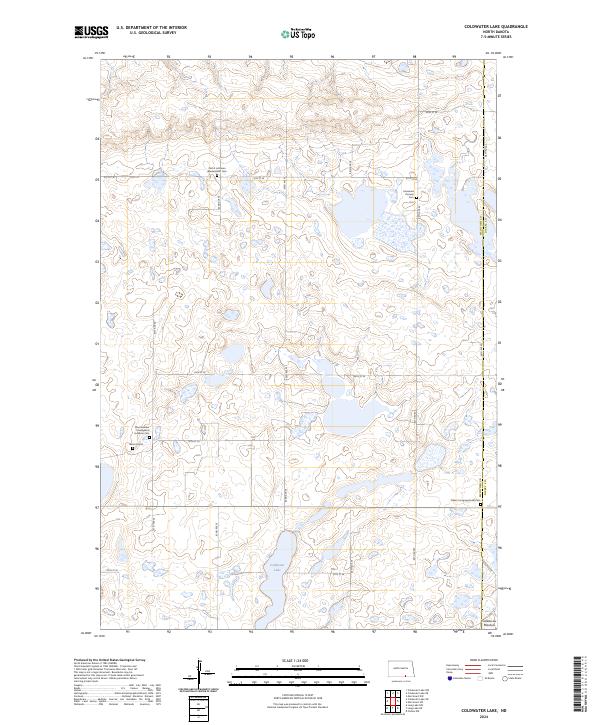
The settlement of Danzig sits in the southwestern corner of this McIntosh County landscape, serving as a quiet focal point in a region defined by extensive glacial prairie potholes. The terrain is dominated by a complex network of wetlands and conservation lands, most notably the expansive National Waterfowl Production Area which fragmented across multiple sections to protect migratory habitats. Several large water bodies anchor the geography, including Green Lake, which is flanked by the Doyle Memorial State Recreational Area and the Green Lake State Game Management Area. For those tracing local history, the map identifies the Salem Cem and Danzig Cem, alongside smaller landmarks like Pudwill Lake and Clear Lake. This 1982 survey provides a detailed look at the rural section lines and township boundaries that organized North Dakota's agricultural and conservation efforts during the late twentieth century.
Find a feature on this map
12 named features on this map. Tap any name to fly to it.
Don’t see what you’re looking for? This feature index may not catch every label — zoom into the map to look around manually.
Map Details
Editions of this 1982 Danzig Map
This is the sole edition of this map. No revisions or reprints were ever made.
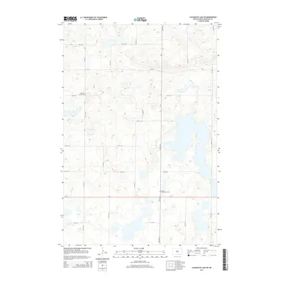
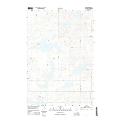
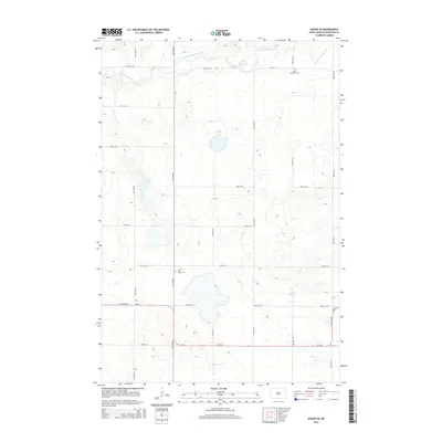
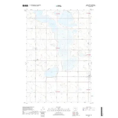
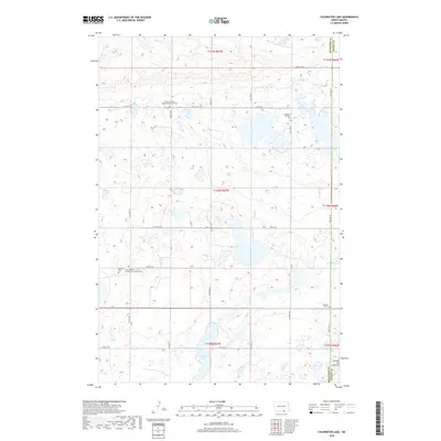
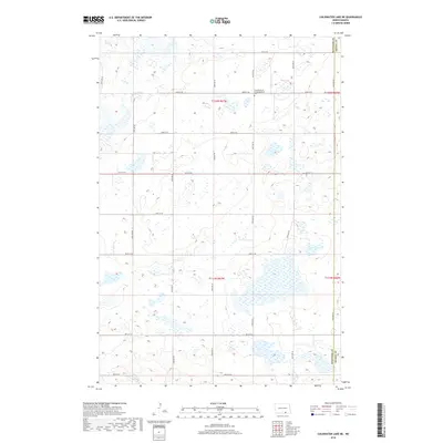
Historical Maps of Danzig Through Time
83 maps found
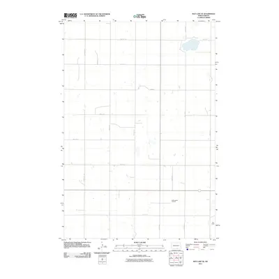
1980 Hague SE
McIntosh County, ND
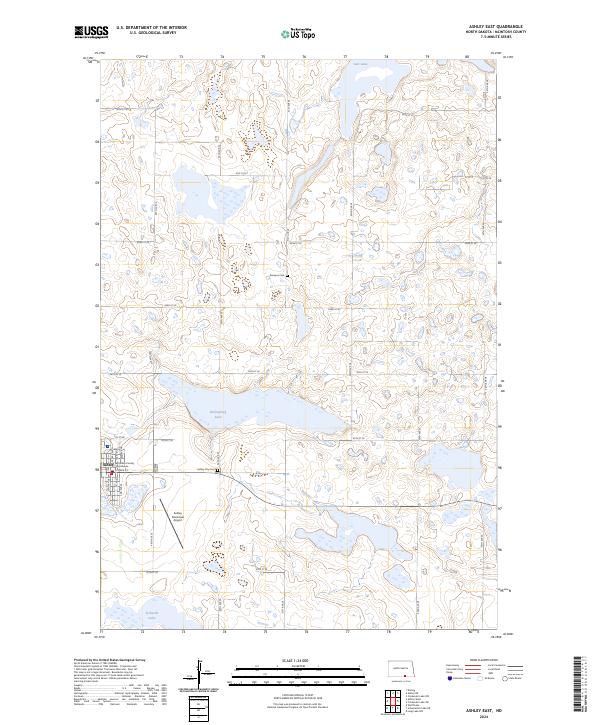
1982 Ashley East
McIntosh County, ND
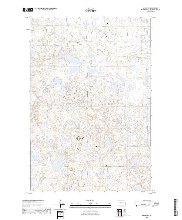
1982 Ashley NE
McIntosh County, ND
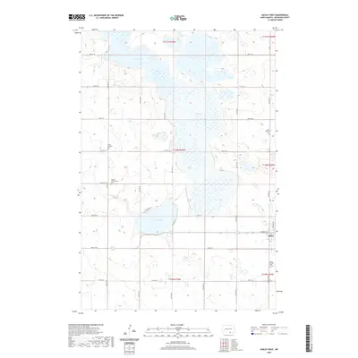
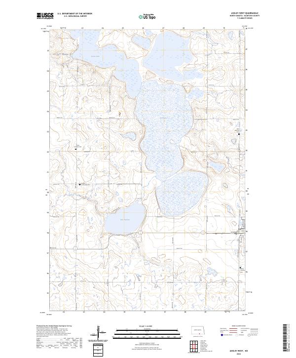
1982 Ashley West
McIntosh County, ND
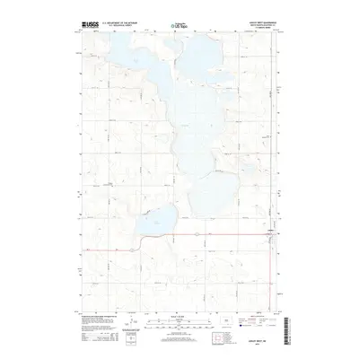
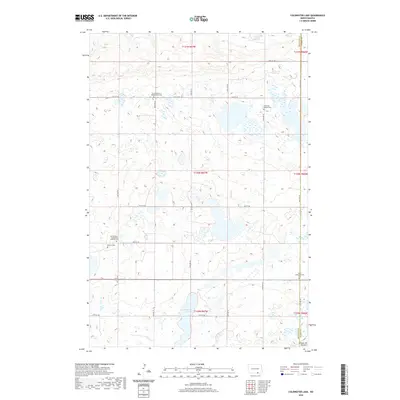
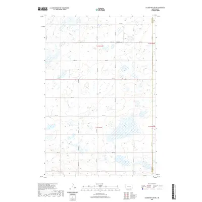
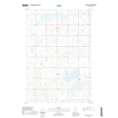
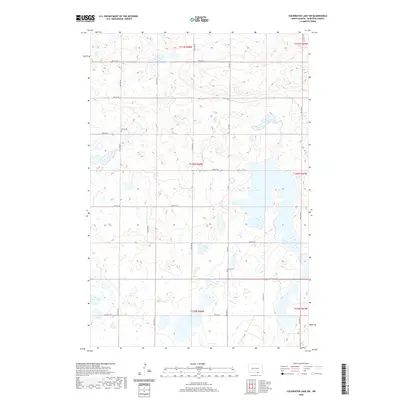
1982 Coldwater Lake
McIntosh County, ND
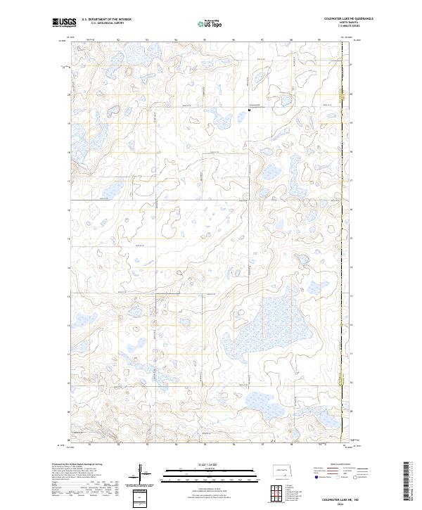
1982 Coldwater Lake NE
McIntosh County, ND
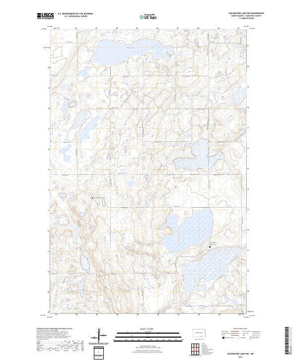
1982 Coldwater Lake NW
McIntosh County, ND
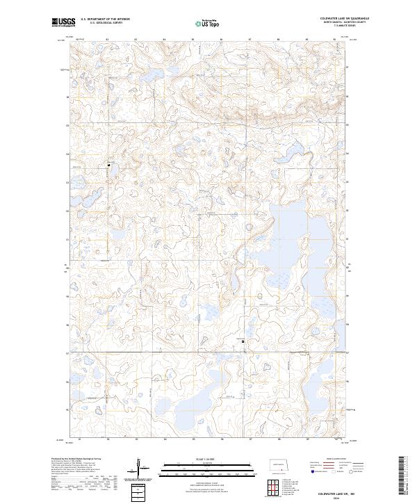
1982 Coldwater Lake SW
McIntosh County, ND
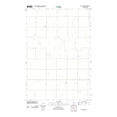
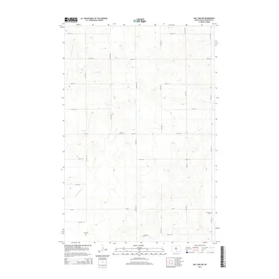
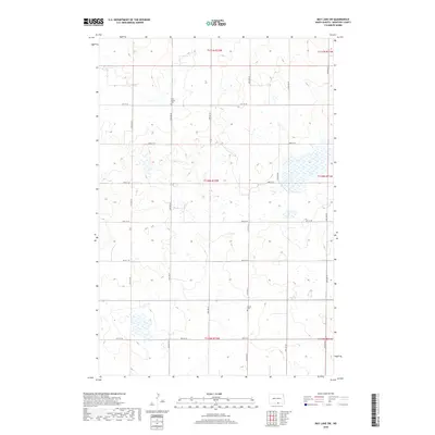
1982 Danzig
McIntosh County, ND
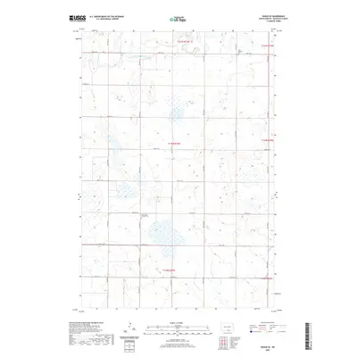
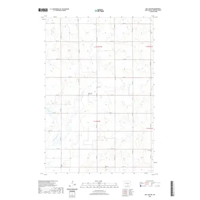
1982 May Lake
McIntosh County, ND
1982 May Lake NW
McIntosh County, ND
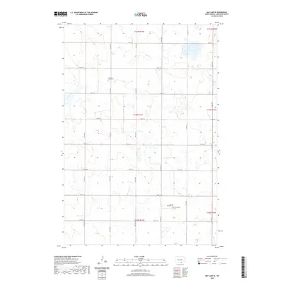
1982 May Lake SE
McIntosh County, ND
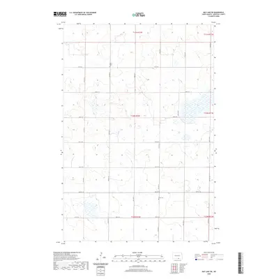
1982 May Lake SW
McIntosh County, ND
2011 Ashley East
McIntosh County, ND
2011 Ashley NE
McIntosh County, ND
2011 Ashley West
McIntosh County, ND
2011 Coldwater Lake
McIntosh County, ND
2011 Coldwater Lake NE
McIntosh County, ND
2011 Coldwater Lake NW
McIntosh County, ND
2011 Coldwater Lake SW
McIntosh County, ND
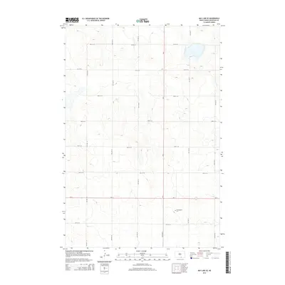
2011 Danzig
McIntosh County, ND
2011 Hague SE
McIntosh County, ND
2011 May Lake
McIntosh County, ND
2011 May Lake NW
McIntosh County, ND
2011 May Lake SE
McIntosh County, ND
2011 May Lake SW
McIntosh County, ND
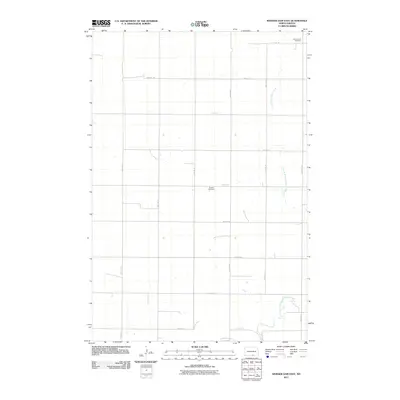
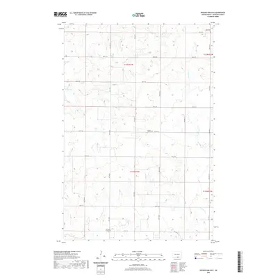
2011 Weisser Dam East
McIntosh County, ND
2014 Ashley East
McIntosh County, ND
2014 Ashley NE
McIntosh County, ND
2014 Ashley West
McIntosh County, ND
2014 Coldwater Lake
McIntosh County, ND
2014 Coldwater Lake NE
McIntosh County, ND
2014 Coldwater Lake NW
McIntosh County, ND
2014 Coldwater Lake SW
McIntosh County, ND
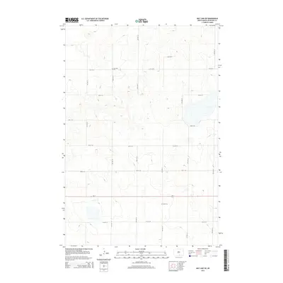
2014 Danzig
McIntosh County, ND
2014 Hague SE
McIntosh County, ND
2014 May Lake
McIntosh County, ND
2014 May Lake NW
McIntosh County, ND
2014 May Lake SE
McIntosh County, ND
2014 May Lake SW
McIntosh County, ND
2014 Weisser Dam East
McIntosh County, ND
2017 Ashley NE
McIntosh County, ND
2017 Coldwater Lake NW
McIntosh County, ND
2017 Danzig
McIntosh County, ND
2018 Ashley East
McIntosh County, ND
2018 Ashley West
McIntosh County, ND
2018 Coldwater Lake
McIntosh County, ND
2018 Coldwater Lake NE
McIntosh County, ND
2018 Coldwater Lake SW
McIntosh County, ND
2018 Hague SE
McIntosh County, ND
2018 May Lake
McIntosh County, ND
2018 May Lake NW
McIntosh County, ND
2018 May Lake SE
McIntosh County, ND
2018 May Lake SW
McIntosh County, ND
2018 Weisser Dam East
McIntosh County, ND
2020 Ashley East
McIntosh County, ND
2020 Ashley NE
McIntosh County, ND
2020 Ashley West
McIntosh County, ND
2020 Coldwater Lake
McIntosh County, ND
2020 Coldwater Lake NE
McIntosh County, ND
2020 Coldwater Lake NW
McIntosh County, ND
2020 Coldwater Lake SW
McIntosh County, ND
2020 Danzig
McIntosh County, ND
2020 Hague SE
McIntosh County, ND
2020 May Lake
McIntosh County, ND
2020 May Lake NW
McIntosh County, ND
2020 May Lake SE
McIntosh County, ND
2020 May Lake SW
McIntosh County, ND
2020 Weisser Dam East
McIntosh County, ND
2024 Ashley East
McIntosh County, ND
2024 Ashley NE
McIntosh County, ND
2024 Ashley West
McIntosh County, ND
2024 Coldwater Lake
McIntosh County, ND
2024 Coldwater Lake NE
McIntosh County, ND
2024 Coldwater Lake NW
McIntosh County, ND
2024 Coldwater Lake SW
McIntosh County, ND
2024 Danzig
McIntosh County, ND
2024 Hague SE
McIntosh County, ND
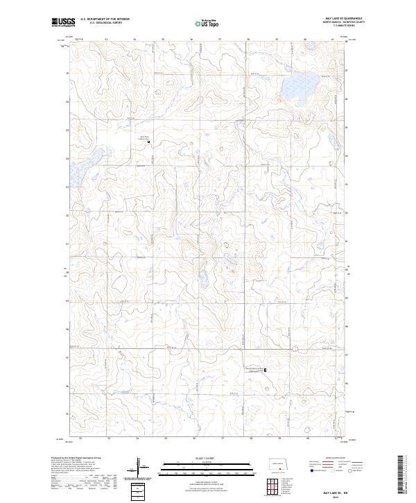
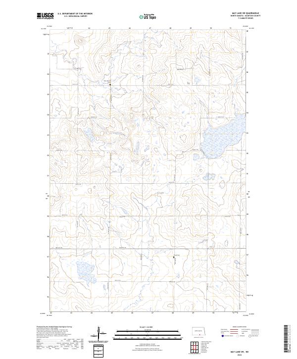
2024 May Lake
McIntosh County, ND
2024 May Lake NW
McIntosh County, ND
2024 May Lake SE
McIntosh County, ND
2024 May Lake SW
McIntosh County, ND
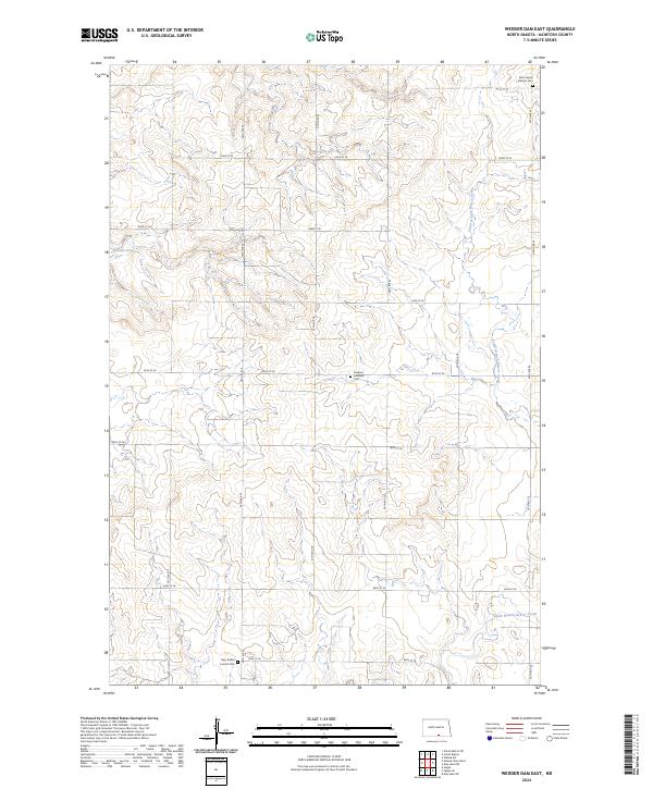
2024 Weisser Dam East
McIntosh County, ND