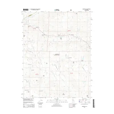
2015 Map of Dardanelle
USGS Topo · Published 2015About this map
The Middle Fork Stanislaus River carves through this high-elevation section of the Stanislaus National Forest, defining a landscape of granite formations and expansive alpine meadows. The tiny settlement of Dardanelle serves as a lone outpost along the river, surrounded by distinctive geologic features like the Columns of the Giants and the imposing Double Dome Rock. The area is characterized by its named meadows and high pockets, including Sardine Meadow, Haypress Meadow, and the remote McCormick Pocket.
Find a feature on this map
46 named features on this map. Tap any name to fly to it.
Don’t see what you’re looking for? This feature index may not catch every label — zoom into the map to look around manually.
Map Details
Editions of this 2015 Dardanelle Map
This is the sole edition of this map. No revisions or reprints were ever made.
Other maps of this area

1896 · Dardanelles
USGS Topo · 1:125,000

1898 · Dardanelles
USGS Topo · 1:125,000

1948 · Walker Lake
USGS Topo · 1:250,000

1956 · Dardanelles Cone
USGS Topo · 1:62,500

1956 · Pinecrest
USGS Topo · 1:62,500

1956 · Sonora Pass
USGS Topo · 1:62,500
1956 · Tower Peak
USGS Topo · 1:62,500

1957 · Walker Lake
USGS Topo · 1:250,000

1962 · Walker Lake
USGS Topo · 1:250,000

1964 · Walker Lake
USGS Topo · 1:250,000