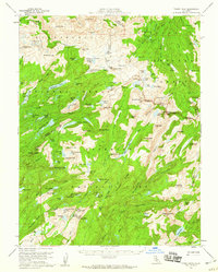
1956 Map of Tower Peak
USGS Topo · Published 1960About this map
Tower Peak stands as the literal and figurative high point of this mid-century survey, marking the intersection of Yosemite National Park, Stanislaus National Forest, and Toiyabe National Forest. This high Sierra terrain is a complex of glacial basins and granite summits, where the Tuolumne and Mono County line follows the jagged Saurian Crest. The map reveals a landscape defined by seasonal movement and extraction, noted by the presence of the Montezuma Mine and a Prospect near Summit Meadow.
Find a feature on this map
137 named features on this map. Tap any name to fly to it.
Don’t see what you’re looking for? This feature index may not catch every label — zoom into the map to look around manually.
Map Details
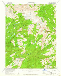
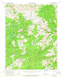
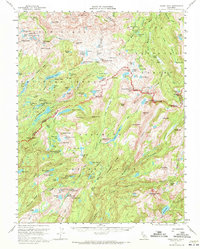
Editions of this 1956 Tower Peak Map
4 editions found
Other maps of this area

1896 · Dardanelles
USGS Topo · 1:125,000

1897 · Yosemite
USGS Topo · 1:125,000

1898 · Dardanelles
USGS Topo · 1:125,000

1900 · Yosemite
USGS Topo · 1:125,000

1901 · Mt. Lyell
USGS Topo · 1:125,000

1903 · Yosemite
USGS Topo · 1:125,000

1909 · Yosemite
USGS Topo · 1:125,000

1909 · Bridgeport
USGS Topo · 1:125,000

1911 · Bridgeport
USGS Topo · 1:125,000

1920 · Bridgeport
USGS Topo · 1:125,000