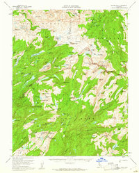
1956 Map of Tower Peak
USGS Topo · Published 1961About this map
Stanislaus National Forest, Toiyabe National Forest, and Yosemite National Park converge in this high Sierra landscape, dominated by a network of glaciated basins and sharp granite ridges. The 1956 survey records a remote terrain where the only human structures are the Piute Cabin and the Montezuma Mine, indicating the sparse industrial and residential footprint at the time. The mapping of the Mono Co Tuolumne Co boundary line follows the crests of the high country, connecting peaks like Tower Peak and Forsyth Peak.
Find a feature on this map
128 named features on this map. Tap any name to fly to it.
Don’t see what you’re looking for? This feature index may not catch every label — zoom into the map to look around manually.
Map Details
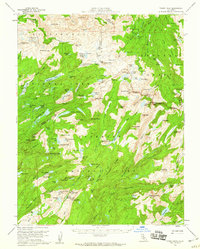
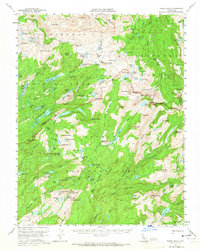
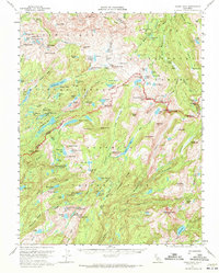
Editions of this 1956 Tower Peak Map
4 editions found
Other maps of this area

1896 · Dardanelles
USGS Topo · 1:125,000

1897 · Yosemite
USGS Topo · 1:125,000

1898 · Dardanelles
USGS Topo · 1:125,000

1900 · Yosemite
USGS Topo · 1:125,000

1901 · Mt. Lyell
USGS Topo · 1:125,000

1903 · Yosemite
USGS Topo · 1:125,000

1909 · Yosemite
USGS Topo · 1:125,000

1909 · Bridgeport
USGS Topo · 1:125,000

1911 · Bridgeport
USGS Topo · 1:125,000

1920 · Bridgeport
USGS Topo · 1:125,000