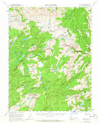
1956 Map of Tower Peak
USGS Topo · Published 1965About this map
Stanislaus National Forest, Toiyabe National Forest, and Yosemite National Park converge in this high-altitude Sierra Nevada landscape. The map captures a wilderness before modern road networks dominated, defined instead by a complex system of drainage and granite summits. Trace the hydraulic patterns from the Relief Creek and Kennedy Creek headwaters down toward the Huckleberry Lake basin. Human footprints are sparse but significant, including the Montezuma Mine and a nearby Prospect located near Summit Meadow. These sites, along with Piute Cabin to the northeast, reflect the era's specialized use of the high country for seasonal grazing and mineral exploration. The terrain is marked by distinctive geological formations such as the Saurian Crest and the towering Granite Dome, while numerous glacial lakes like Emigrant Lake and Dorothy Lake dot the basins between peaks.
Find a feature on this map
132 named features on this map. Tap any name to fly to it.
Don’t see what you’re looking for? This feature index may not catch every label — zoom into the map to look around manually.
Map Details
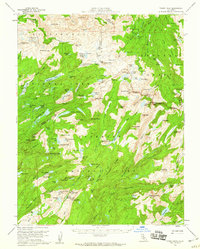
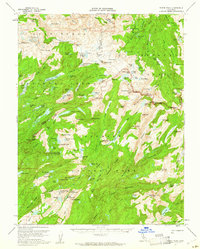
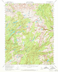
Editions of this 1956 Tower Peak Map
4 editions found
Other maps of this area

1896 · Dardanelles
USGS Topo · 1:125,000

1897 · Yosemite
USGS Topo · 1:125,000

1898 · Dardanelles
USGS Topo · 1:125,000

1900 · Yosemite
USGS Topo · 1:125,000

1901 · Mt. Lyell
USGS Topo · 1:125,000

1903 · Yosemite
USGS Topo · 1:125,000

1909 · Yosemite
USGS Topo · 1:125,000

1909 · Bridgeport
USGS Topo · 1:125,000

1911 · Bridgeport
USGS Topo · 1:125,000

1920 · Bridgeport
USGS Topo · 1:125,000