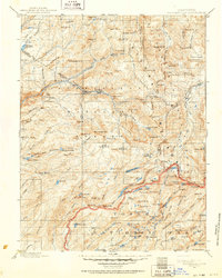
1896 Map of Dardanelles
USGS Topo · Published 1952About this map
Yosemite National Park occupies the southern reaches of this survey, where high-altitude water bodies like Huckleberry Lake and Tilden Lake sit among the peaks of the High Sierra. Surveyed in the late 19th century by R.H. McKee and R.B. Marshall, the map documents a wilderness transitioning into protected federal land. The northern section is dominated by the Sierra National Forest and the dramatic topography of the Dardanelles.
Find a feature on this map
159 named features on this map. Tap any name to fly to it.
Don’t see what you’re looking for? This feature index may not catch every label — zoom into the map to look around manually.
Map Details
Editions of this 1896 Dardanelles Map
2 editions found

Other maps of this area

1889 · Pyramid Peak
USGS Topo · 1:125,000

1889 · Markleeville
USGS Topo · 1:125,000

1891 · Markleeville
USGS Topo · 1:125,000

1891 · Big Trees
USGS Topo · 1:125,000

1891 · Pyramid Peak
USGS Topo · 1:125,000

1891 · Wellington
USGS Topo · 1:125,000

1893 · Markleeville
USGS Topo · 1:125,000

1893 · Sonora
USGS Topo · 1:125,000

1893 · Wellington
USGS Topo · 1:125,000

1894 · Big Trees
USGS Topo · 1:125,000