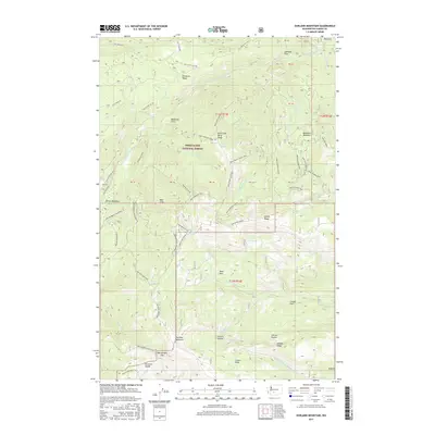
2017 Map of Darland Mountain
USGS Topo · Published 2017About this map
Snoqualmie National Forest dominates this high-elevation landscape, where a dense network of four-wheel-drive trails and forest development roads provides access to the crests and valleys of the Washington Cascades. The topography is defined by prominent features like Divide Ridge and the Klickton Divide, with seasonal camps and clearings such as Bakeoven Flats and Cougar Flats marking the rugged geography. Significant water sources are scattered throughout the terrain, including Blue Lake, Green Lake, and multiple springs like Withrow Spring and Spruce Spring, which historically supported timber operations and recreational passage through this backcountry.
Find a feature on this map
74 named features on this map. Tap any name to fly to it.
Don’t see what you’re looking for? This feature index may not catch every label — zoom into the map to look around manually.
Map Details
Editions of this 2017 Darland Mountain Map
This is the sole edition of this map. No revisions or reprints were ever made.
Other maps of this area

1902 · Mount Aix
USGS Topo · 1:125,000

1904 · Mt Aix
USGS Topo · 1:125,000

1904 · Mount Adams
USGS Topo · 1:125,000

1907 · Mount Adams
USGS Topo · 1:125,000

1950 · Yakima
USGS Topo · 1:250,000

1958 · Yakima
USGS Topo · 1:250,000

1961 · Yakima
USGS Topo · 1:250,000

1962 · White Pass
USGS Topo · 1:62,500

1967 · Rimrock Lake
USGS Topo · 1:24,000

1967 · Tieton Basin
USGS Topo · 1:24,000