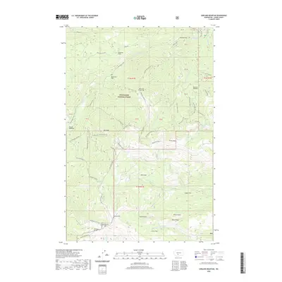
2020 Map of Darland Mountain
USGS Topo · Published 2020About this map
Snoqualmie National Forest dominates this high-elevation landscape, where the headwaters of the South Fork Tieton River and the Middle Fork Ahtanum Cr originate. This terrain is defined by its extensive network of high-clearance routes, such as the 4WD Short And Dirty and 4WD Butcher Knife, which provide access to seasonal camps and remote landmarks like Darland Mtn. The map reveals a complex system of drainage and ridges, including the Divide Ridge and Short and Dirty Ridge, which separate alpine meadows like Minnie Meadows from water sources such as Blue Lake and Green Lake. Isolated pockets and flats, including Whites Pocket and Clover Flats, indicate the sparse but specific human use of this backcountry area, likely centered on recreational access and forest management.
Find a feature on this map
70 named features on this map. Tap any name to fly to it.
Don’t see what you’re looking for? This feature index may not catch every label — zoom into the map to look around manually.
Map Details
Editions of this 2020 Darland Mountain Map
This is the sole edition of this map. No revisions or reprints were ever made.
Other maps of this area

1902 · Mount Aix
USGS Topo · 1:125,000

1904 · Mt Aix
USGS Topo · 1:125,000

1904 · Mount Adams
USGS Topo · 1:125,000

1907 · Mount Adams
USGS Topo · 1:125,000

1950 · Yakima
USGS Topo · 1:250,000

1958 · Yakima
USGS Topo · 1:250,000

1961 · Yakima
USGS Topo · 1:250,000

1962 · White Pass
USGS Topo · 1:62,500

1967 · Rimrock Lake
USGS Topo · 1:24,000

1967 · Tieton Basin
USGS Topo · 1:24,000