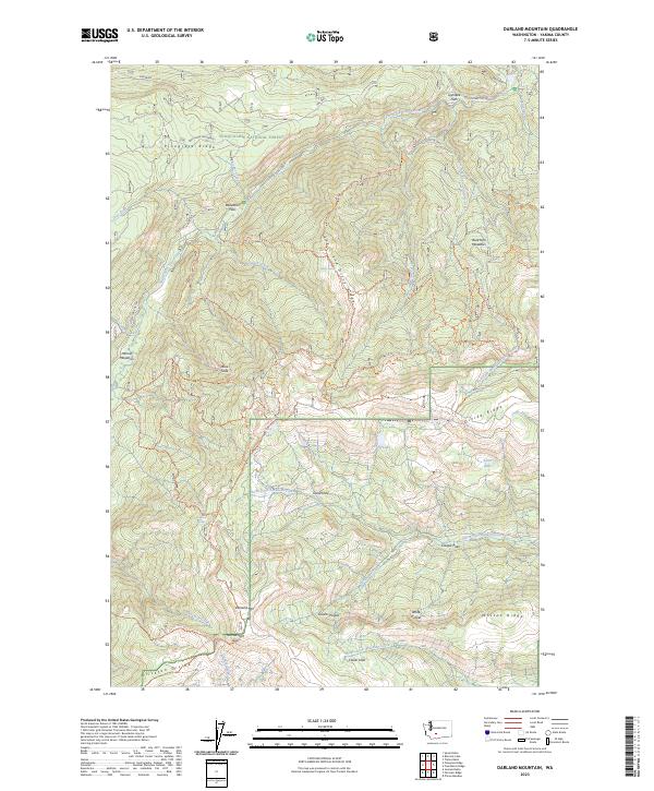
2023 Map of Darland Mountain
USGS Topo · Published 2023About this map
Snoqualmie National Forest dominates this high-elevation landscape, where the South Fork Tieton River and various forks of the North Fork Ahtanum Creek drain a complex network of ridges and meadows. Rising to prominence in the south, Darland Mtn serves as a central anchor near the Narrowneck Gap, a point where the local topography constricts between Divide Ridge and the Klickton Divide. This high country is characterized by a series of distinct upland pockets like Greens Pocket and Whites Pocket, alongside specialized crossings and clearings.
Find a feature on this map
48 named features on this map. Tap any name to fly to it.
Don’t see what you’re looking for? This feature index may not catch every label — zoom into the map to look around manually.
Map Details
Editions of this 2023 Darland Mountain Map
This is the sole edition of this map. No revisions or reprints were ever made.
Other maps of this area

1902 · Mount Aix
USGS Topo · 1:125,000

1904 · Mt Aix
USGS Topo · 1:125,000

1904 · Mount Adams
USGS Topo · 1:125,000

1907 · Mount Adams
USGS Topo · 1:125,000

1950 · Yakima
USGS Topo · 1:250,000

1958 · Yakima
USGS Topo · 1:250,000

1961 · Yakima
USGS Topo · 1:250,000

1962 · White Pass
USGS Topo · 1:62,500

1967 · Rimrock Lake
USGS Topo · 1:24,000

1967 · Tieton Basin
USGS Topo · 1:24,000