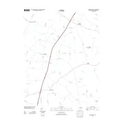
2013 Map of Darlington
USGS Topo · Published 2013About this map
Andersons Crossroads and Pierces Crossroads anchor the northern reaches of this Halifax County landscape, where the coastal plain is defined by an intricate network of wetlands and small farming settlements. The map illustrates a rural geography organized around extensive drainage systems, including the massive Marsh Swamp and Beaverdam Swamp, which dictate the placement of roads and homesteads. Local infrastructure is concentrated near the hamlets of Darlington and Beaverdam, with family-named routes like James W Williams Farm Rd and Neville Farm Rd providing clues to the area's agricultural lineage. In the east, the presence of the Halifax-Northampton Regional Airport marks a modern utility in this otherwise traditional southern landscape. The transition from the dense swamp environments of Burnt Coat Swamp to the upland clearings of Allen Grove reflects the historical pattern of selecting higher ground for settlement in North Carolina's timber and tobacco country.
Find a feature on this map
54 named features on this map. Tap any name to fly to it.
Don’t see what you’re looking for? This feature index may not catch every label — zoom into the map to look around manually.
Map Details
Editions of this 2013 Darlington Map
This is the sole edition of this map. No revisions or reprints were ever made.
Other maps of this area

1953 · Norfolk
USGS Topo · 1:250,000

1960 · Dawson Crossroads
USGS Topo · 1:24,000

1961 · Enfield
USGS Topo · 1:24,000

1963 · Ringwood
USGS Topo · 1:24,000

1973 · Aurelian Springs
USGS Topo · 1:24,000
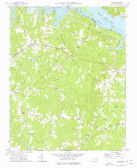
1973 · Thelma
USGS Topo · 1:24,000

1974 · Halifax
USGS Topo · 1:24,000
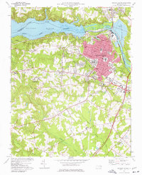
1974 · Roanoke Rapids
USGS Topo · 1:24,000
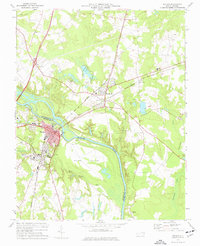
1974 · Weldon
USGS Topo · 1:24,000

1974 · Darlington
USGS Topo · 1:24,000