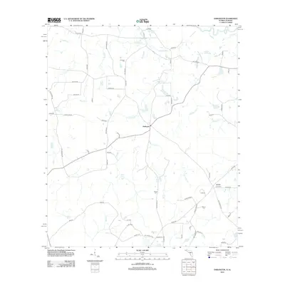
2012 Map of Darlington
USGS Topo · Published 2012About this map
Darlington and Leonia serve as the primary hubs in this rural landscape along the Florida-Alabama border. The terrain is defined by a dense network of watercourses, including the westward-flowing Limestone Cr and the meandering Hurricane Cr. For genealogists, the map is particularly useful for locating family burial sites such as Leonia Cem, Limestone Cem, Padgett Cem, and Broxton Cem, which are scattered throughout the countryside near established farmsteads.
Find a feature on this map
72 named features on this map. Tap any name to fly to it.
Don’t see what you’re looking for? This feature index may not catch every label — zoom into the map to look around manually.
Map Details
Editions of this 2012 Darlington Map
This is the sole edition of this map. No revisions or reprints were ever made.
Other maps of this area

1942 · Enterprise
USGS Topo · 1:125,000

1949 · Glendale
USGS Topo · 1:62,500

1949 · Hobbs Crossroads
USGS Topo · 1:24,000

1950 · Hobbs Cross Roads
USGS Topo · 1:24,000

1950 · Prosperity
USGS Topo · 1:24,000

1951 · Glendale
USGS Topo · 1:62,500

1953 · Andalusia
USGS Topo · 1:250,000

1953 · Dothan
USGS Topo · 1:250,000

1954 · Dothan
USGS Topo · 1:250,000

1954 · Tallahassee
USGS Topo · 1:250,000