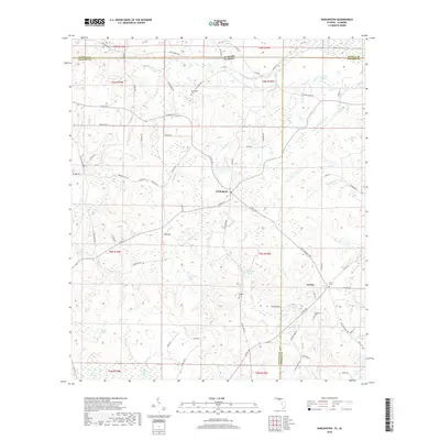
2018 Map of Darlington
USGS Topo · Published 2018About this map
Darlington and Leonia sit at the center of this rural landscape where the Florida panhandle meets the Alabama border. The area is defined by a dense network of hydrologic features, from the flowing waters of Limestone Creek and Hurricane Cr to smaller basins like Collinsworth Pond and Miller Pond. This environment is characterized by numerous "bays," such as Dukes Bay and Peavey Bay, which are typical of the region's low-lying, often swampy terrain.
Find a feature on this map
84 named features on this map. Tap any name to fly to it.
Don’t see what you’re looking for? This feature index may not catch every label — zoom into the map to look around manually.
Map Details
Editions of this 2018 Darlington Map
This is the sole edition of this map. No revisions or reprints were ever made.
Other maps of this area

1942 · Enterprise
USGS Topo · 1:125,000

1949 · Glendale
USGS Topo · 1:62,500

1949 · Hobbs Crossroads
USGS Topo · 1:24,000

1950 · Hobbs Cross Roads
USGS Topo · 1:24,000

1950 · Prosperity
USGS Topo · 1:24,000

1951 · Glendale
USGS Topo · 1:62,500

1953 · Andalusia
USGS Topo · 1:250,000

1953 · Dothan
USGS Topo · 1:250,000

1954 · Dothan
USGS Topo · 1:250,000

1954 · Tallahassee
USGS Topo · 1:250,000