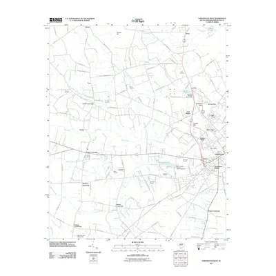
2011 Map of Darlington West
USGS Topo · Published 2011About this map
Darlington Raceway anchors the eastern edge of this landscape just outside Darlington, marking a notable transition from the urban fringes of Brockington Heights to the agricultural crossroads that define the region. The terrain is structured by a network of rural routes including W Billy Farrow Hwy and Old Lamar Hwy, connecting historic community nodes such as Earlys Crossroads, Wineberg Crossroads, and Iseman Crossroads. These intersections serve as anchors for local heritage, often situated near family and church burial grounds like the Byrd Cemetery and Indian Branch Cemetery. Water plays a central role in the geography, with Swift Creek and Indian Creek feeding into historic impoundments like McCouns Millpond and Ramseys Millpond. To the northwest, the landscape opens into the Cypress Flat, illustrating the diverse drainage patterns of the South Carolina coastal plain.
Find a feature on this map
118 named features on this map. Tap any name to fly to it.
Don’t see what you’re looking for? This feature index may not catch every label — zoom into the map to look around manually.
Map Details
Editions of this 2011 Darlington West Map
This is the sole edition of this map. No revisions or reprints were ever made.
Other maps of this area

1940 · Florence West
USGS Topo · 1:62,500

1941 · Spartanburg
USGS Topo · 1:250,000

1945 · Florence West
USGS Topo · 1:62,500

1953 · Florence
USGS Topo · 1:250,000

1953 · Spartanburg
USGS Topo · 1:250,000

1954 · Florence
USGS Topo · 1:250,000

1960 · Spartanburg
USGS Topo · 1:250,000

1963 · Spartanburg
USGS Topo · 1:250,000

1963 · Dovesville
USGS Topo · 1:24,000

1963 · Mont Clare
USGS Topo · 1:24,000