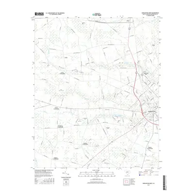
2017 Map of Darlington West
USGS Topo · Published 2017About this map
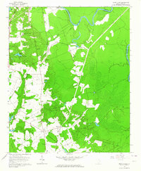
Darlington and its western rural hinterlands are defined by a network of crossroad settlements and small family burial grounds. The landscape is characterized by its numerous small waterways, including the winding Swift Cr and Indian Cr, which cut through the agricultural terrain. Throughout the quadrangle, several named crossroads such as Lewis Crossroads, Earlys Crossroads, and Wineberg Crossroads mark the intersections that have historically anchored these farming communities.
Find a feature on this map
131 named features on this map. Tap any name to fly to it.
Don’t see what you’re looking for? This feature index may not catch every label — zoom into the map to look around manually.
Map Details
Editions of this 2017 Darlington West Map
This is the sole edition of this map. No revisions or reprints were ever made.
Other maps of this area
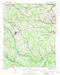
1940 · Florence West
USGS Topo · 1:62,500

1941 · Spartanburg
USGS Topo · 1:250,000
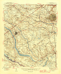
1945 · Florence West
USGS Topo · 1:62,500

1953 · Florence
USGS Topo · 1:250,000

1953 · Spartanburg
USGS Topo · 1:250,000

1954 · Florence
USGS Topo · 1:250,000

1960 · Spartanburg
USGS Topo · 1:250,000

1963 · Spartanburg
USGS Topo · 1:250,000
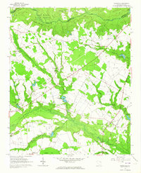
1963 · Dovesville
USGS Topo · 1:24,000
1963 · Mont Clare
USGS Topo · 1:24,000