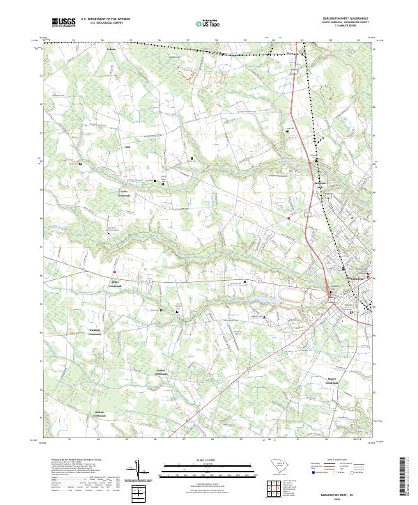
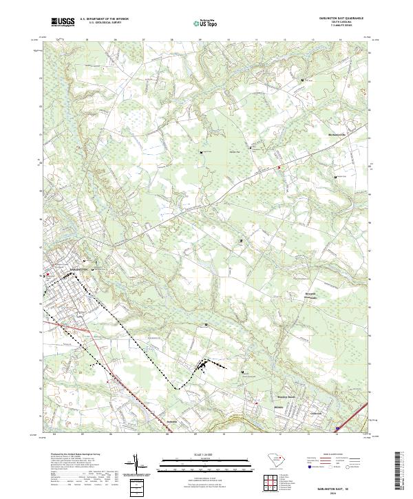
2024 Map of Darlington West
USGS Topo · Published 2024About this map
Darlington serves as the focal point for this survey of the South Carolina lowcountry, where the landscape is defined by the winding course of Swift Creek and the surrounding agricultural crossroads. The transition from the developed streets of the county seat to the outlying rural districts reveals a network of long-established family and community sites, such as Earlys Crossroads and Lewis Crossroads. Further north, Cypress Flat and McCowns Millpond indicate the managed water and wetland systems that have historically supported the region's agricultural economy.
Find a feature on this map
134 named features on this map. Tap any name to fly to it.
Don’t see what you’re looking for? This feature index may not catch every label — zoom into the map to look around manually.
Map Details
Editions of this 2024 Darlington West Map
This is the sole edition of this map. No revisions or reprints were ever made.
Historical Maps of Darlington Through Time
12 maps found
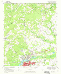
1963 Darlington East
Darlington County, SC
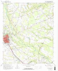
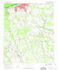
1963 Darlington West
Darlington County, SC
1963 Mont Clare
Darlington County, SC
1968 Hartsville North
Darlington County, SC
1968 Hartsville South
Darlington County, SC
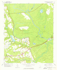
1972 Witherspoon Island
Darlington County, SC
2024 Darlington East
Darlington County, SC
2024 Darlington West
Darlington County, SC
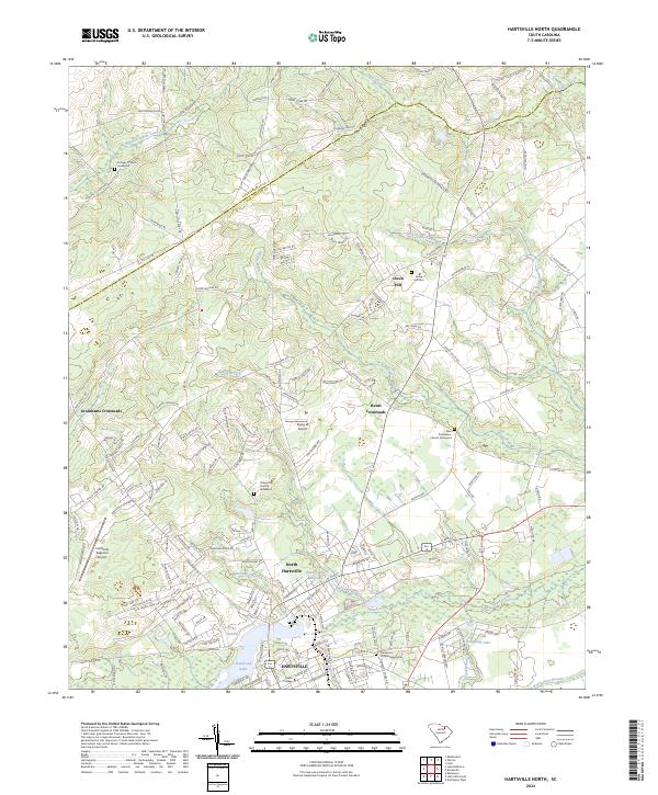
2024 Hartsville North
Darlington County, SC
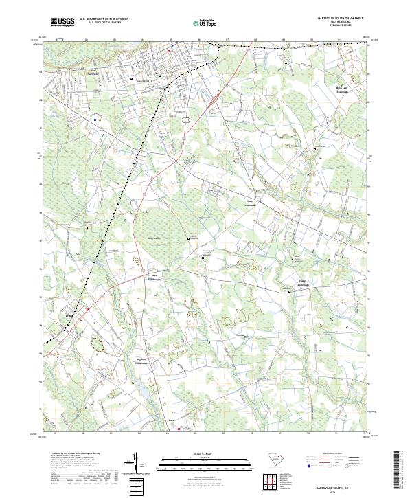
2024 Hartsville South
Darlington County, SC
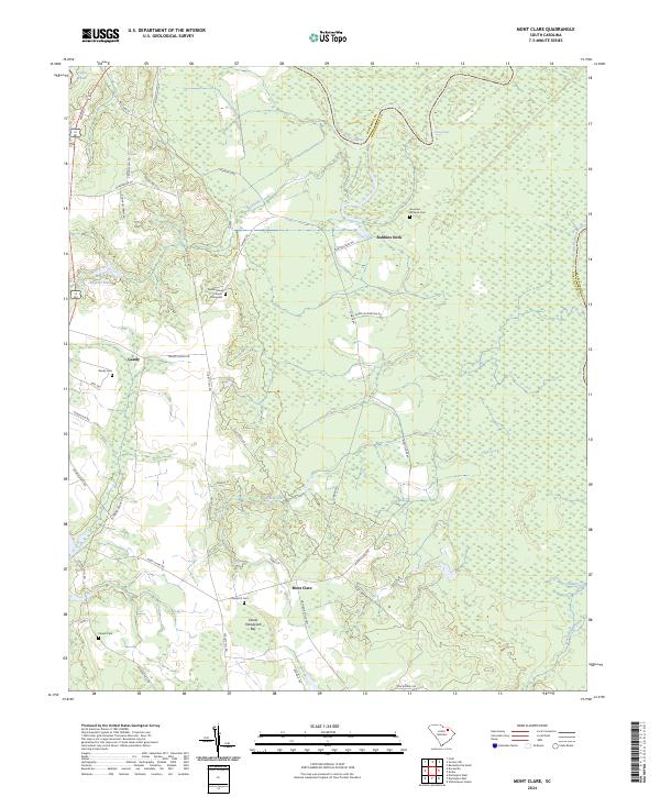
2024 Mont Clare
Darlington County, SC
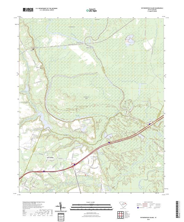
2024 Witherspoon Island
Darlington County, SC