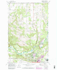
1973 Map of Dartford
USGS Topo · Published 1986About this map
Wild Rose Prairie and Half Moon Prairie define the northern portion of this map, reflecting the agricultural roots of northern Spokane County before the suburban expansion of the late 20th century. The Little Spokane River winds through the southern landscape, providing a focus for early institutional and recreational development, including the Spokane Country Club and Waikiki Springs. Evidence of early community organization appears at Township Hall and the Grange Hall, while the transition toward a suburban college town is anchored by Whitworth College and the Spokane Corporate Boundary.
Find a feature on this map
65 named features on this map. Tap any name to fly to it.
Don’t see what you’re looking for? This feature index may not catch every label — zoom into the map to look around manually.
Map Details
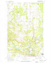
Editions of this 1973 Dartford Map
2 editions found
Other maps of this area

1901 · Spokane
USGS Topo · 1:125,000

1943 · Medical Lake
USGS Topo · 1:62,500

1944 · Clayton
USGS Topo · 1:62,500

1949 · Deer Park
USGS Topo · 1:62,500

1950 · Spokane NE
USGS Topo · 1:24,000

1950 · Spokane NW
USGS Topo · 1:24,000

1950 · Spokane
USGS Topo · 1:62,500

1950 · Clayton
USGS Topo · 1:62,500

1951 · Deer Park
USGS Topo · 1:62,500

1954 · Airway Heights
USGS Topo · 1:24,000