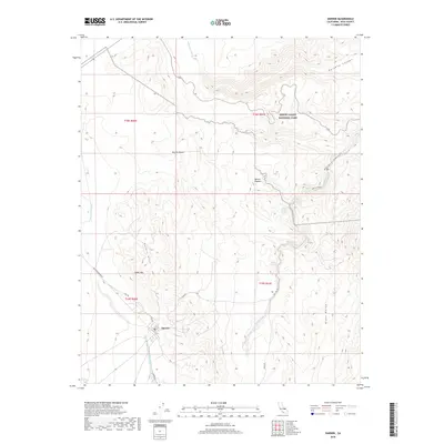
2018 Map of Darwin
USGS Topo · Published 2018About this map
Darwin sits at the southern edge of the Darwin Hills, serving as a central point for the surrounding desert landscape of Inyo County. This high-desert terrain is defined by the sharp transition from the Darwin Plateau to the deep incisions of Rainbow Canyon and Darwin Canyon. The presence of China Garden Spring and Millers Spring highlights the critical water sources that dictated settlement and travel in this arid environment, leading toward the significant landmark of Darwin Falls.
Find a feature on this map
26 named features on this map. Tap any name to fly to it.
Don’t see what you’re looking for? This feature index may not catch every label — zoom into the map to look around manually.
Map Details
Editions of this 2018 Darwin Map
This is the sole edition of this map. No revisions or reprints were ever made.
Other maps of this area

1908 · Ballarat
USGS Topo · 1:250,000

1913 · Ballarat
USGS Topo · 1:250,000

1948 · Death Valley
USGS Topo · 1:250,000

1950 · Darwin
USGS Topo · 1:62,500

1951 · Darwin
USGS Topo · 1:62,500

1951 · Panamint Butte
USGS Topo · 1:62,500

1951 · Maturango Peak
USGS Topo · 1:62,500

1951 · Coso Peak
USGS Topo · 1:62,500

1954 · Death Valley
USGS Topo · 1:250,000

1956 · Death Valley
USGS Topo · 1:250,000