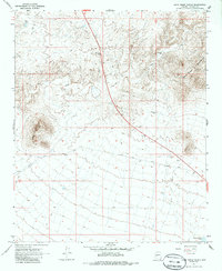
1967 Map of Date Creek Ranch
USGS Topo · Published 1985About this map
Date Creek Ranch sits at the base of the Date Creek Mountains, marking a sparse but functional landscape in this part of Yavapai County as it was surveyed in the late 1960s. The map illustrates a high-desert environment where water management was central to survival and ranching operations, evidenced by features such as Possum Tank, Wood Spurger Tank, and Evans Well. The dominant topographic landmark, Black Mountain, rises above a network of transit routes including the Alamo Road and various unnamed jeep trails. This survey captures the transition from the mid-century cattle era toward modern infrastructure, noting a Roadside Rest along the primary highway and industrial activity indicated by a Borrow Pit. The area’s character is defined by its drainage systems, with Date Creek winding through the foothills of the surrounding peaks.
Find a feature on this map
15 named features on this map. Tap any name to fly to it.
Don’t see what you’re looking for? This feature index may not catch every label — zoom into the map to look around manually.
Map Details
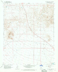
Editions of this 1967 Date Creek Ranch Map
2 editions found
Other maps of this area

1887 · Prescott
USGS Topo · 1:250,000

1892 · Prescott
USGS Topo · 1:250,000

1903 · Congress
USGS Topo · 1:125,000

1904 · Congress
USGS Topo · 1:125,000

1923 · Signal
USGS Topo · 1:250,000

1942 · Signal
USGS Topo · 1:250,000

1950 · Prescott
USGS Topo · 1:250,000

1954 · Prescott
USGS Topo · 1:250,000

1958 · Prescott
USGS Topo · 1:250,000

1959 · Prescott
USGS Topo · 1:250,000