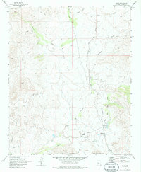
1969 Map of Date
USGS Topo · Published 1986About this map
Camp Date Creek (Ruins) sits near the southern edge of this Arizona landscape, marking a site of earlier military or pioneer settlement along the water. The corridor of the Atchison Topeka and Santa Fe railroad runs north-south through the center of the sheet, connecting small stations and local points such as Hawkins and Date. The terrain is defined by the Date Creek Mountains and broad open areas like Sunflower Flat. Water management in this arid environment is evident through labels for a Billingsley Spring and an Aqueduct found south of Hawkins. Numerous Jeep Trails wind through the canyons and over ridges, such as Cottonwood Canyon and along Waterman Creek, providing a detailed look at the network of backcountry access available in Yavapai County during the late 1960s.
Find a feature on this map
21 named features on this map. Tap any name to fly to it.
Don’t see what you’re looking for? This feature index may not catch every label — zoom into the map to look around manually.
Map Details
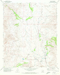
Editions of this 1969 Date Map
2 editions found
Other maps of this area

1887 · Prescott
USGS Topo · 1:250,000

1892 · Prescott
USGS Topo · 1:250,000

1903 · Congress
USGS Topo · 1:125,000

1904 · Congress
USGS Topo · 1:125,000

1923 · Signal
USGS Topo · 1:250,000

1942 · Signal
USGS Topo · 1:250,000

1950 · Prescott
USGS Topo · 1:250,000

1954 · Prescott
USGS Topo · 1:250,000

1958 · Prescott
USGS Topo · 1:250,000

1959 · Prescott
USGS Topo · 1:250,000