Loading...
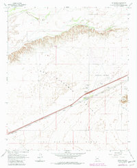
Loading map...1965 Map of Dateland
USGS Topo · Published 1982About this map
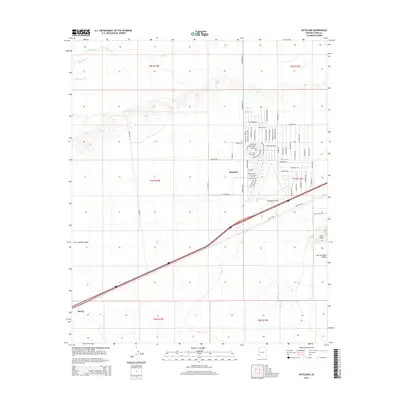
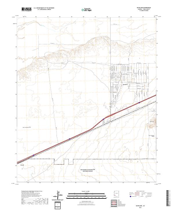
San Cristobal Valley dominates the central landscape of this Arizona desert map, illustrating the intersection of transport and topography in the mid-1960s. The settlement of Dateland serves as a critical hub along the Southern Pacific railroad and highway corridor, featuring a Po, Dateland Sch, and the Dateland Interchange. These features, alongside the Highway Maintenance Yard, highlight the area's role as a vital waypoint for travelers and rail freight crossing the arid basin.
Find a feature on this map
20 named features on this map. Tap any name to fly to it.
Don’t see what you’re looking for? This feature index may not catch every label — zoom into the map to look around manually.
Map Details
Date Portrayed1965
Date Published1982
PublisherU.S. Geological Survey
Map TypeTopographic
Scale1:24,000
Physical Dimensions22 x 26.9 inches
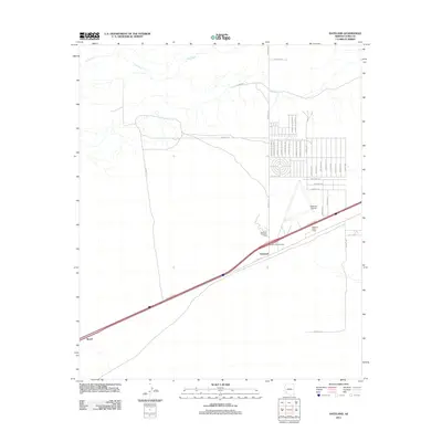
Editions of this 1965 Dateland Map
2 editions found
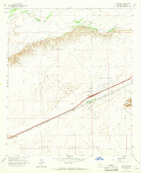
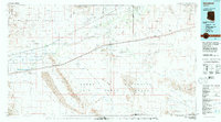
Historical Maps of Stoval Through Time
6 maps found
Featured Locations
Source Details
SourceU.S. Geological Survey
CopyrightPublic Domain