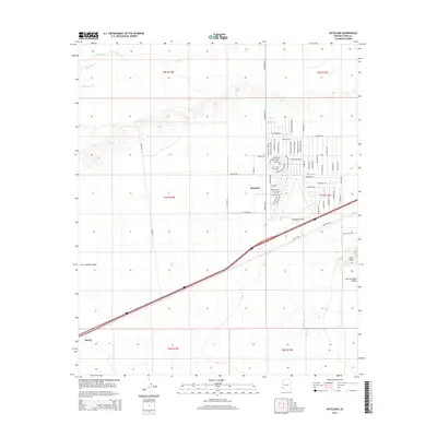
2014 Map of Dateland
USGS Topo · Published 2014About this map
Dateland serves as the central hub of this desert landscape, where a dense grid of residential streets like Camino Del Valle and Palo Verde Dr contrasts sharply with the surrounding arid terrain. The settlement is defined by its proximity to transportation and infrastructure, anchored by the Dateland Airfield and a network of thoroughfares including Victoria Rd and S Avenue 64 E. To the northwest, the Gila River provides a vital geographical boundary, while the San Cristobal Valley opens up to the south, bordered by the rising elevations of the Aztec Hills. Further west, the smaller rail-aligned community of Stoval marks a point of historical transit interest. This 2014 survey documents the organized expansion of residential blocks into the desert, illustrating how modern irrigation and road networks have shaped the habitation patterns of Yuma County.
Find a feature on this map
69 named features on this map. Tap any name to fly to it.
Don’t see what you’re looking for? This feature index may not catch every label — zoom into the map to look around manually.
Map Details
Editions of this 2014 Dateland Map
This is the sole edition of this map. No revisions or reprints were ever made.
Other maps of this area

1927 · Aguila Mountains
USGS Topo · 1:48,000

1927 · Kim
USGS Topo · 1:62,500

1929 · Aztec
USGS Topo · 1:62,500

1930 · Aguila Mountains
USGS Topo · 1:62,500

1930 · Stoval
USGS Topo · 1:62,500

1931 · Kim
USGS Topo · 1:62,500

1950 · Stoval
USGS Topo · 1:62,500

1950 · Aztec
USGS Topo · 1:62,500

1953 · Ajo
USGS Topo · 1:250,000

1957 · Ajo
USGS Topo · 1:250,000