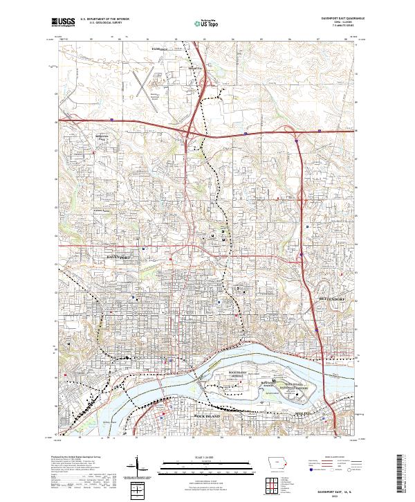
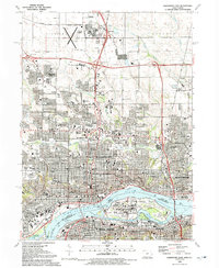
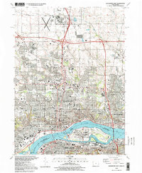
2022 Map of Davenport East
USGS Topo · Published 2022This historical map portrays the area of Davenport East in 2022, primarily covering Scott County as well as portions of Scott County and Illinois. Featuring a scale of 1:24000, this map provides a highly detailed snapshot of the terrain, roads, buildings, counties, and historical landmarks in the Davenport East region at the time. Published in 2022, it is the sole known edition of this map.
Find a feature on this map
140 named features on this map. Tap any name to fly to it.
Don’t see what you’re looking for? This feature index may not catch every label — zoom into the map to look around manually.
Map Details
Editions of this 2022 Davenport East Map
This is the sole edition of this map. No revisions or reprints were ever made.
Historical Maps of Nottingate Hill Through Time
11 maps found

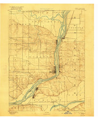
1892 Leclaire
Scott County, IA
1893 Leclaire
Scott County, IA
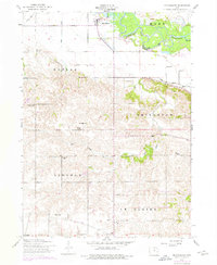
1953 Davenport East
Scott County, IA
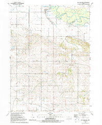
1953 Davenport West
Scott County, IA
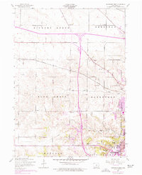
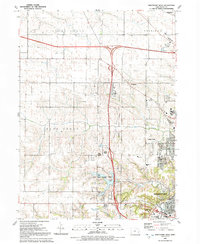
1953 Mc Causland
Scott County, IA
1991 Davenport East
Scott County, IA
1991 Davenport West
Scott County, IA
1991 Mc Causland
Scott County, IA
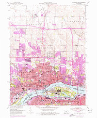
1993 Davenport East
Scott County, IA
2022 Davenport East
Scott County, IA
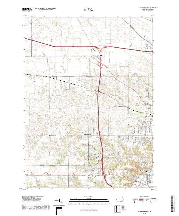
2022 Davenport West
Scott County, IA
Featured Locations
- Moline, IL
- Rock Island, IL
- Davenport, IA
- Bettendorf, Pleasant Valley Township
- Eldridge, Sheridan Township