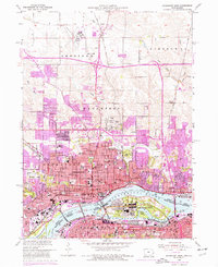
1953 Map of Davenport East
USGS Topo · Published 1976About this map
The Mississippi River defines the heart of this mid-century urban landscape, separating the growing cities of Davenport and Bettendorf in Iowa from Rock Island and Moline in Illinois. At the center of the channel, the Rock Island Arsenal sits on its namesake island, flanked by Lock and Dam No 15 and the narrow Sylvan Slough. The map documents a dense network of civic and religious institutions, from Mercy Hosp and St Anthonys Hospital to a high concentration of parochial centers like St Anthonys Church and School and Holy Family School. While the riverfront remains industrial and dominated by the Burlington Northern and other rail lines, the northern periphery shows the expanding residential footprints of Green Acres and Ridgeview Park near the Davenport Municipal Airport. This 1953 survey, with revisions through the mid-1970s, captures the transition from a traditional river-and-rail economy to modern suburban development.
Find a feature on this map
72 named features on this map. Tap any name to fly to it.
Don’t see what you’re looking for? This feature index may not catch every label — zoom into the map to look around manually.
Map Details
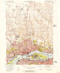
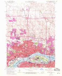
Editions of this 1953 Davenport East Map
Other maps of this area

1891 · Davenport
USGS Topo · 1:62,500

1892 · Leclaire
USGS Topo · 1:62,500

1893 · Leclaire
USGS Topo · 1:62,500

1894 · Davenport
USGS Topo · 1:62,500

1899 · Clinton
USGS Topo · 1:125,000

1901 · Rock Island
USGS Topo · 1:125,000

1910 · Rock Island
USGS Topo · 1:125,000

1912 · Milan
USGS Topo · 1:62,500

1937 · Orion
USGS Topo · 1:62,500

1944 · Milan
USGS Topo · 1:62,500