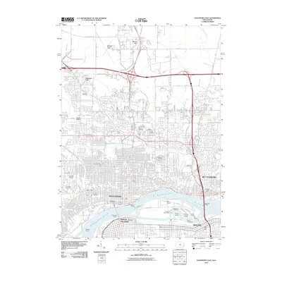
2022 Map of Davenport West
USGS Topo · Published 2022About this map
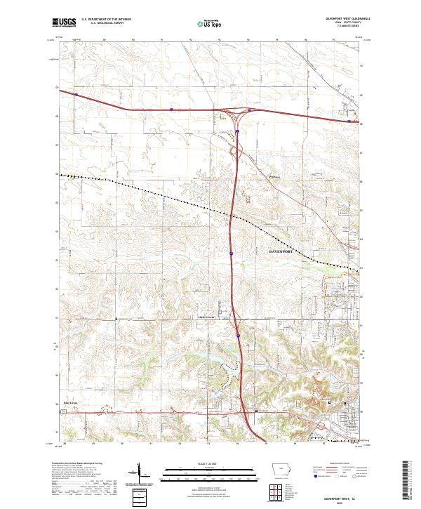
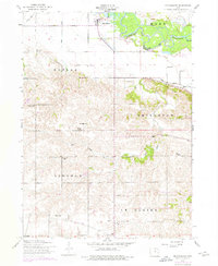
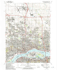
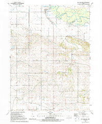
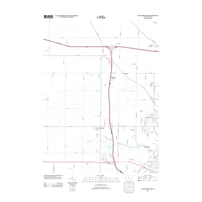
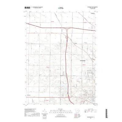
Davenport expands westward into a landscape of suburban growth and agricultural transition in this 2022 topographic study. The city's edge meets smaller settlements like Little Groves and Probstei, while the community of Blue Grass sits at the southwestern corner of the quadrangle. This area is characterized by a network of drainage systems including Duck Cr and Black Hawk Cr, which wind through residential developments and remaining farmland.
Find a feature on this map
58 named features on this map. Tap any name to fly to it.
Don’t see what you’re looking for? This feature index may not catch every label — zoom into the map to look around manually.
Map Details
Editions of this 2022 Davenport West Map
This is the sole edition of this map. No revisions or reprints were ever made.
Historical Maps of Davenport Through Time
19 maps found

1892 Leclaire
Scott County, IA
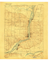
1893 Leclaire
Scott County, IA
1953 Davenport East
Scott County, IA
1953 Davenport West
Scott County, IA
1953 Mc Causland
Scott County, IA
1991 Davenport East
Scott County, IA
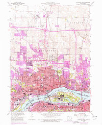
1991 Davenport West
Scott County, IA
1991 Mc Causland
Scott County, IA
1993 Davenport East
Scott County, IA
2010 Davenport East
Scott County, IA
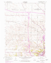
2010 Davenport West
Scott County, IA
2013 Davenport East
Scott County, IA
2013 Davenport West
Scott County, IA
2015 Davenport East
Scott County, IA
2015 Davenport West
Scott County, IA
2018 Davenport East
Scott County, IA
2018 Davenport West
Scott County, IA
2022 Davenport East
Scott County, IA
2022 Davenport West
Scott County, IA