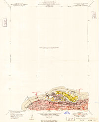
1949 Map of Davenport
USGS Topo · Published 1949About this map
Rock Island Arsenal dominates the mid-river landscape where the Mississippi River separates Iowa and Illinois, serving as a focal point for this post-war industrial and military hub. The map details the dense urban grids of Rock Island and Moline, connected to the Iowa side by the Centennial Br and Memorial Br. This era of development is defined by a heavy concentration of rail infrastructure, with lines like the Chicago Rock Island and Pacific and the Chicago Milwaukee St Paul and Pacific threading through the riverfront districts to serve the Municipal Terminal and local factories.
Find a feature on this map
32 named features on this map. Tap any name to fly to it.
Don’t see what you’re looking for? This feature index may not catch every label — zoom into the map to look around manually.
Map Details
Editions of this 1949 Davenport Map
This is the sole edition of this map. No revisions or reprints were ever made.
Other maps of this area
1891 · Davenport
USGS Topo · 1:62,500
1892 · Leclaire
USGS Topo · 1:62,500
1893 · Leclaire
USGS Topo · 1:62,500
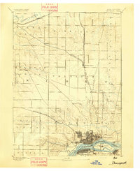
1894 · Davenport
USGS Topo · 1:62,500
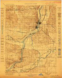
1899 · Clinton
USGS Topo · 1:125,000
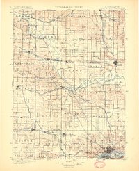
1901 · Rock Island
USGS Topo · 1:125,000
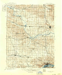
1910 · Rock Island
USGS Topo · 1:125,000
1912 · Milan
USGS Topo · 1:62,500
1937 · Orion
USGS Topo · 1:62,500
1944 · Milan
USGS Topo · 1:62,500