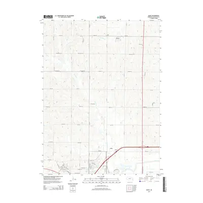
2014 Map of Davey
USGS Topo · Published 2014About this map
Davey serves as the primary northern hub in this Lancaster County landscape, where the agricultural grid is deeply etched by a network of seasonal watercourses. The local heritage of early settlers is preserved at sites like Tothill Cem and Danish Cem, providing tangible links for those researching regional genealogy. To the south, the settlement of Arbor marks a point of increased infrastructure, while the small enclave of Dream Field lies nestled along the banks of Little Salt Cr. The terrain is defined by the drainage patterns of Ash Hollow Cr, Jordan Cr, and Salt Cr, which meander through a countryside dominated by section-line roads such as W Davey Rd and Branched Oak Rd. This 2014 survey documents the persistence of small-town Nebraska centers amidst an expansive prairie drainage system.
Find a feature on this map
56 named features on this map. Tap any name to fly to it.
Don’t see what you’re looking for? This feature index may not catch every label — zoom into the map to look around manually.
Map Details
Editions of this 2014 Davey Map
This is the sole edition of this map. No revisions or reprints were ever made.
Other maps of this area

1897 · Lincoln
USGS Topo · 1:125,000

1899 · Wahoo
USGS Topo · 1:125,000

1955 · Fremont
USGS Topo · 1:250,000

1955 · Lincoln
USGS Topo · 1:250,000

1957 · Fremont
USGS Topo · 1:250,000

1957 · Lincoln
USGS Topo · 1:250,000

1958 · Fremont
USGS Topo · 1:250,000

1958 · Lincoln
USGS Topo · 1:250,000

1964 · Waverly
USGS Topo · 1:24,000

1964 · Davey
USGS Topo · 1:24,000