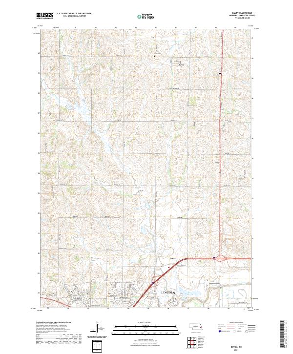
2021 Map of Davey
USGS Topo · Published 2021About this map
Davey serves as a central point in this northern Lancaster County landscape, where agricultural roads follow the rigid section lines of the Public Land Survey System. The topography is defined by the drainage patterns of Little Salt Cr and Ash Hollow Cr, which carve gentle valleys through the prairie. To the south, the expansion of Lincoln begins to influence the rural character, marked by the development of newer residential corridors like Fallbrook Blvd and Blue Sage Blvd. This map documents a period of transition where traditional farming communities meet modern suburban growth. Local heritage is anchored by sites such as the Tothill Cem and Danish Cem, providing tangible links to the early families who settled this region north of the capital.
Find a feature on this map
64 named features on this map. Tap any name to fly to it.
Don’t see what you’re looking for? This feature index may not catch every label — zoom into the map to look around manually.
Map Details
Editions of this 2021 Davey Map
This is the sole edition of this map. No revisions or reprints were ever made.
Other maps of this area

1897 · Lincoln
USGS Topo · 1:125,000

1899 · Wahoo
USGS Topo · 1:125,000

1955 · Fremont
USGS Topo · 1:250,000

1955 · Lincoln
USGS Topo · 1:250,000

1957 · Fremont
USGS Topo · 1:250,000

1957 · Lincoln
USGS Topo · 1:250,000

1958 · Fremont
USGS Topo · 1:250,000

1958 · Lincoln
USGS Topo · 1:250,000

1964 · Waverly
USGS Topo · 1:24,000

1964 · Davey
USGS Topo · 1:24,000