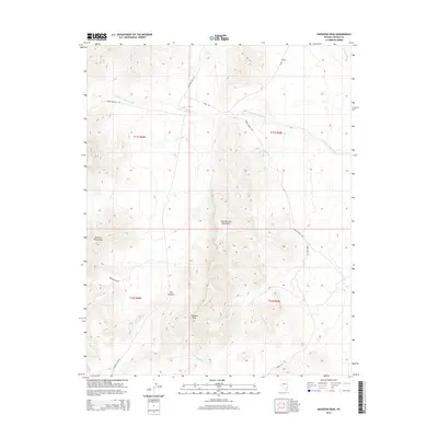
2014 Map of Davidson Peak
USGS Topo · Published 2014About this map
Davidson Peak and the high ridges of the East Mormon Mountains dominate this high-desert landscape in Lincoln County. In 2014, the region's complex system of drainages remains clearly defined, including the S Fork Toquop Wash and Halfway Wash, which cut through the arid terrain. The map captures a high-elevation network of primitive roads and trails that reflect the area's history of range management and exploration, such as Horse Hollow Rd and Rainbow Pass Rd. Two specific water sources, Gourd Spring and Peach Spring, are documented on the eastern slopes, marking critical points in a territory otherwise defined by dry washes and steep topography. The presence of Sheep Pens Rd suggests a lineage of pastoral use in this corner of the Mormon Mountains.
Find a feature on this map
20 named features on this map. Tap any name to fly to it.
Don’t see what you’re looking for? This feature index may not catch every label — zoom into the map to look around manually.
Map Details
Editions of this 2014 Davidson Peak Map
This is the sole edition of this map. No revisions or reprints were ever made.
Other maps of this area

1885 · Pioche
USGS Topo · 1:250,000

1886 · Saint Thomas
USGS Topo · 1:250,000

1886 · Pioche
USGS Topo · 1:250,000

1893 · Saint Thomas
USGS Topo · 1:250,000

1954 · Caliente
USGS Topo · 1:250,000

1954 · Las Vegas
USGS Topo · 1:250,000

1957 · Las Vegas
USGS Topo · 1:250,000

1957 · Mesquite
USGS Topo · 1:62,500

1959 · Caliente
USGS Topo · 1:250,000

1959 · Las Vegas
USGS Topo · 1:250,000