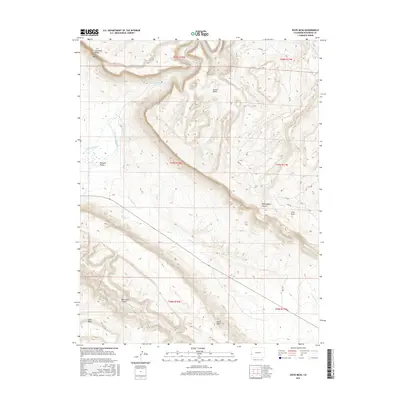
2016 Map of Davis Mesa
USGS Topo · Published 2016About this map
The Dolores River cuts through the high desert of Montrose County, revealing a landscape of steep plateaus and deep drainages. This modern survey illustrates the complex topography of the Paradox Valley, where the drainage patterns of W Paradox Cr and E Paradox Cr intersect with massive landforms like Carpenter Ridge and Martin Mesa. The area is characterized by these high-elevation features, including Davis Mesa and Skein Mesa, which dominate the southern and eastern horizons.
Find a feature on this map
28 named features on this map. Tap any name to fly to it.
Don’t see what you’re looking for? This feature index may not catch every label — zoom into the map to look around manually.
Map Details
Editions of this 2016 Davis Mesa Map
This is the sole edition of this map. No revisions or reprints were ever made.
Other maps of this area

1916 · Paradox Valley
USGS Topo · 1:125,000

1922 · Paradox Valley
USGS Topo · 1:125,000

1948 · Roc Creek
USGS Topo · 1:24,000

1948 · Bull Canyon
USGS Topo · 1:24,000

1948 · Uravan
USGS Topo · 1:24,000

1948 · Naturita NW
USGS Topo · 1:24,000

1948 · Paradox
USGS Topo · 1:24,000

1949 · Bull Canyon
USGS Topo · 1:24,000

1949 · Davis Mesa
USGS Topo · 1:24,000

1949 · Uravan
USGS Topo · 1:24,000