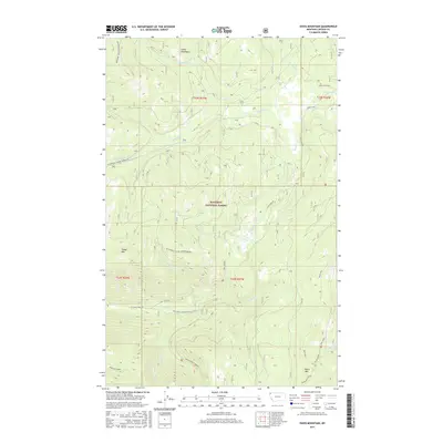
2017 Map of Davis Mountain
USGS Topo · Published 2017About this map
Kootenai National Forest dominates this section of the Salish Mountains in Lincoln County, where the high ridges of the Blackfoot Divide (Pinkham) and Blackfoot Divide (Grimm Mdow) separate the watersheds of the Kootenai River system. The drainage pattern is complex, with Swamp Creek and Lake Creek cutting through the mountainous terrain alongside prominent peaks like Davis Mtn and Sheep Mtn. The landscape is largely defined by its network of forest development routes, such as Lake Creek Rd and Pinkham Mtn Rd, which provide access to the remote backcountry. Along the southern edge, the Warland Ridge overlooks the valley of the South Fork Fivemile, illustrating the transition from steep mountain divides to the creek beds that define local geography. This survey provides a precise look at the forest's topographic structure just as digital mapping standards were being refined.
Find a feature on this map
31 named features on this map. Tap any name to fly to it.
Don’t see what you’re looking for? This feature index may not catch every label — zoom into the map to look around manually.
Map Details
Editions of this 2017 Davis Mountain Map
This is the sole edition of this map. No revisions or reprints were ever made.
Other maps of this area

1913 · Stryker
USGS Topo · 1:125,000

1916 · Stryker
USGS Topo · 1:125,000

1920 · Jennings
USGS Topo · 1:125,000

1935 · Thompson Lakes
USGS Topo · 1:96,000

1942 · Thompson Lakes
USGS Topo · 1:125,000

1957 · Kalispell
USGS Topo · 1:250,000

1960 · Kalispell
USGS Topo · 1:250,000

1961 · Kalispell
USGS Topo · 1:250,000

1963 · Mc Guire Mountain
USGS Topo · 1:24,000

1963 · Davis Mountain
USGS Topo · 1:24,000