
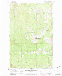
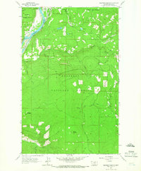
1963 Map of Mc Guire Mountain
USGS Topo · Published 1966About this map
Kootenai National Forest lands dominate this mid-century topographic survey, characterized by high elevations and a network of named peaks and drainage basins. Central to the sheet is the summit of McGuire Mountain, flanked by Lydia Mountain and Sutton Mountain. These heights are dissected by a complex system of waterways including Sutton Creek, Skid Creek, and West Fork Pinkham Creek, which carve out the deep basins seen throughout the terrain. While the area is largely defined by its natural topography, the presence of several Pack Trail routes and unnamed Springs highlights the limited access and primitive infrastructure available at the time. The mapping of small drainages like Briery Creek and Allen Gulch provides a detailed look at the hydrology that feeds the larger Tenmile Creek system in this portion of Lincoln County.
Find a feature on this map
17 named features on this map. Tap any name to fly to it.
Don’t see what you’re looking for? This feature index may not catch every label — zoom into the map to look around manually.
Map Details
Editions of this 1963 Mc Guire Mountain Map
2 editions found
Other maps of this area

1957 · Kalispell
USGS Topo · 1:250,000

1960 · Kalispell
USGS Topo · 1:250,000

1961 · Kalispell
USGS Topo · 1:250,000

1963 · Eureka South
USGS Topo · 1:24,000

1963 · Davis Mountain
USGS Topo · 1:24,000

1963 · Webb Mountain
USGS Topo · 1:24,000
1963 · Volcour
USGS Topo · 1:24,000
1963 · Pinkham Mountain
USGS Topo · 1:24,000
1963 · Inch Mountain
USGS Topo · 1:24,000
1963 · Beartrap Mountain
USGS Topo · 1:24,000